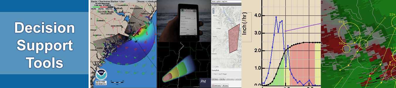
Decision Support Tools - MDL
"Decision Support" could be defined as: the synthesis, display, and manipulation of data and guidance from various sources to aid the Weather Forecast Offices (WFO), River Forecast Centers and National Centers forecasters and other users in interpreting the wealth of information available at the WFO." Such methods and displays incorporate algorithms from other laboratories as well as those developed in MDL which lead the forecaster through a decision process appropriate for the specific weather situation being addressed. Such advanced interpretation and display techniques are integrated onto NWS operational workstations, mostly via AWIPS. Techniques for automatically monitoring weather observations and forecasts are developed and implemented to alert the forecaster of the need to update warning and forecast products, especially for dangerous weather. Guidance from the resulting techniques is used by NWS offices in preparing forecasts which go to emergency preparedness officials as well as the general public.
|
|
|
|
The Impacts Catalog, consisting of known societal impacts of climate, water, and weather dependent events, is used to help forecasters issue forecasts and warnings more relevant to known societal vulnerabilities. This project is currently under development by NWS to improve its ability to communicate weather, climate, and water-related warnings to those who need them according to their specific needs. |
|
 |
The Virtual Laboratory (VLab) is a service and IT framework which enables NOAA employees and their partners to share ideas, collaborate, engage in software development, and conduct applied research. The VLab will enable NOAA to reduce the time and cost of transitions of field innovations to enterprise operations; minimize redundancy and leverage complementary, yet physically separated, skillsets; forge scientific and technical solutions based on a broad, diverse consensus, and promote collaboration and trust. |
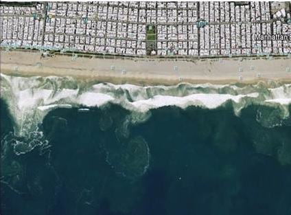 |
Rip Current Monitoring and Prediction Rip Currents are powerful, channeled currents of water flowing away from shore. They typically extend from the shoreline, through the surf zone, and past the line of breaking waves. Rip currents generally form when waves approach normal to the shoreline or at a slight angle. Rip currents can occur at any beaches with breaking waves, including beaches on open oceans and in the Great Lakes and in a Bay. DSB does rip current monitoring and prediction. |
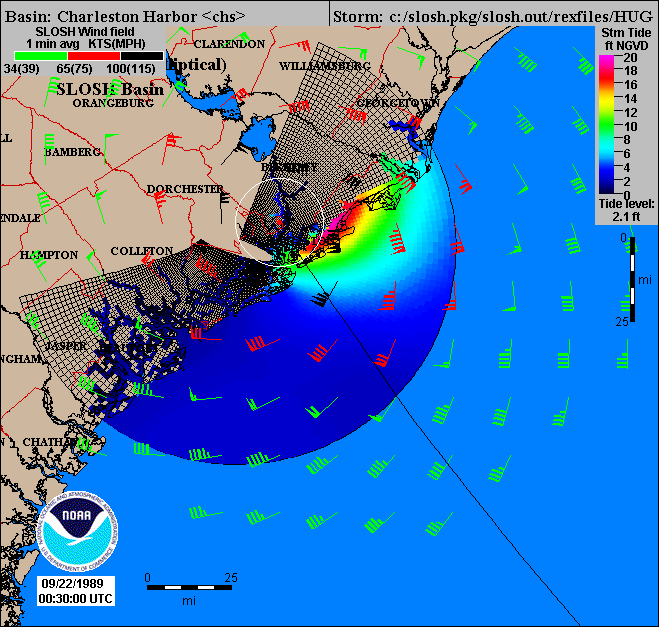 |
Using techniques and skills in numerical modeling, computer science, atmospheric physics, geographical information science, meteorology, and physical oceanography, the storm surge team develops models and forecast products to help predict and warn about storm surges and other coastal flooding events. |
For further information about MDL's Decision Support Tools, please contact Judy.Ghirardelli@noaa.gov.