Home - MDL


National Blend of Models (NBM) Upgraded to Version 5.0
May 05, 2026On May 5, 2026, the Meteorological Development Laboratory (MDL) upgraded its operational product, the National Blend of Models (NBM) — a nationally-consistent and calibrated suite of forecast products generated by combining numerical weather prediction and post-processed data. This upgrade (version 5.0) focuses on a significant expansion of products and on improving the science and methodology of the NBM.

Probabilistic Extra-Tropical Storm Surge Model Upgraded to Version 1.4
Jan 30, 2026In September 2025, the National Oceanic and Atmospheric Administration's National Weather Service (NOAA NWS) Meteorological Development Laboratory (MDL) upgraded its operational Probabilistic Extra-Tropical Storm Surge (P-ETSS) model to version 1.4.

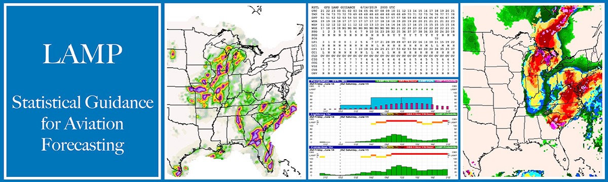
Meteorological Development Laboratory’s Localized Aviation MOS Program and Gridded LAMP upgraded to Version 2.7
Oct 09, 2025An important upgrade to the Localized Aviation Model Output Statistics (MOS) Program (LAMP) and Gridded LAMP (GLMP) systems was implemented into NWS operations on Tuesday, September 16, 2025.
National Blend of Models (NBM) Upgraded to Version 4.3
May 27, 2025On May 27, 2025, NOAA’s National Weather Service (NWS) upgraded its operational product, the National Blend of Models (NBM) — a nationally-consistent and calibrated suite of forecast products generated by combining numerical weather prediction and post-processed data. This upgrade (version 4.3) primarily focused on improvements to the NBM Tropical Cyclone Feature-Matched wind speed product and incorporated updates provided by the Storm Prediction Center (SPC) to the probabilistic severe weather products.