About
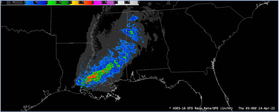
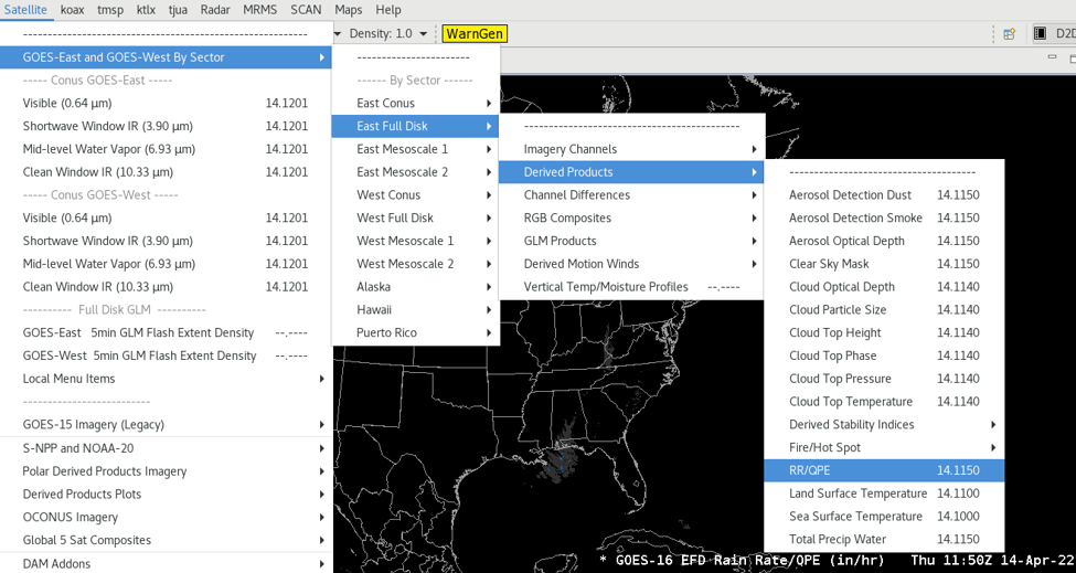
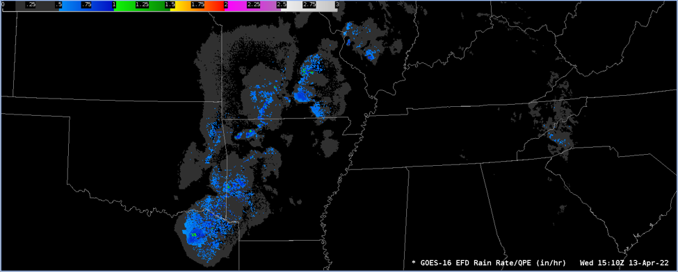
The Rainfall Rate Quantitative Precipitation Estimation (RRQPE) product contains an image with pixel values identifying the rainfall rate. The product includes data quality information that provides an assessment of the rainfall rate data values for on-earth pixels. The algorithm derives the RRQPE values from ABI channels 8, 10, 11, 14, and 15 to analyze cloud brightness temperatures against the NWS/CPC combined microwave product (MWCOMB) to predict rainfall rates.
Limitations
False Readings: Because precipitating clouds are opaque in the infrared, the algorithm attempts to infer surface rainfall rate from cloud-top temperatures and properties implied by the ABI brightness temperatures. The result is that rain rates tend to be more accurate for convective precipitation (where the relationship between cloud-top temperature and updraft strength is more direct) than for stratiform precipitation. However, it should also be noted that thick cirrus anvils can obscure convective precipitation or sometimes be incorrectly depicted themselves as producing precipitation. Also, although the algorithm adjusts for parallax, in high-shear environments with non-vertical rain shafts the satellite-retrieved rainfall may be shifted relative to rainfall at the ground. Finally, orographic modulation by seeder-feeder mechanisms will not be detected by this algorithm since the "feeder" cloud causing the enhancement will be obscured by the "seeder" cloud above it.