GOES SCMI - Total Operational Weather Readiness - Satellites (TOWR-S)
GOES-R Sectorized Cloud and Moisture Imagery (SCMI)
About
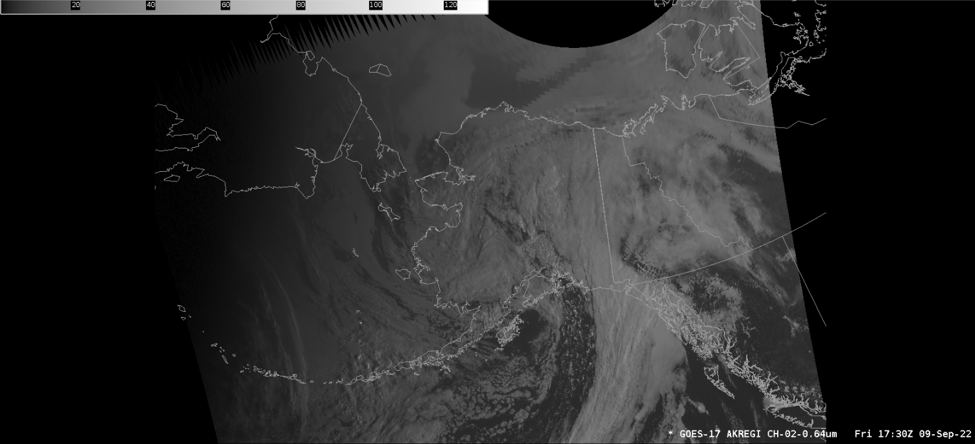
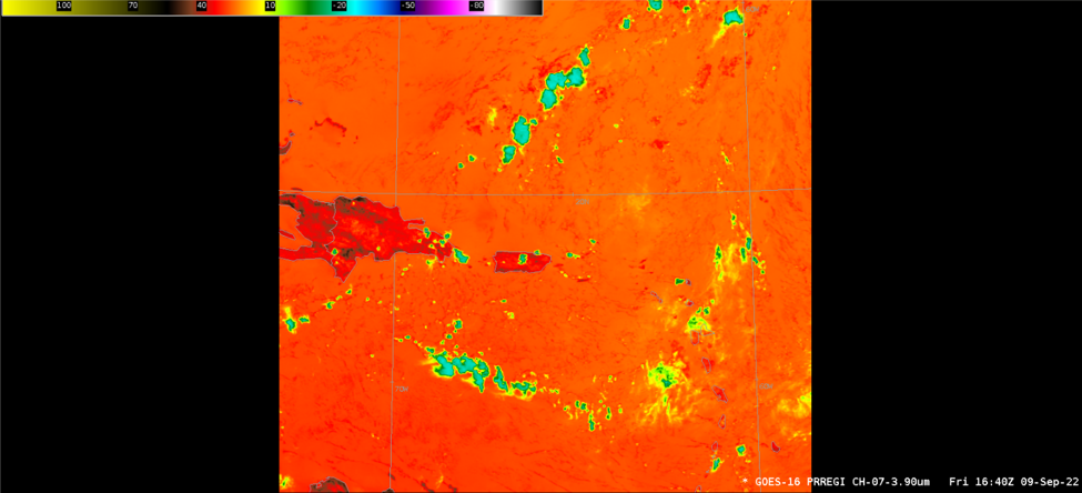
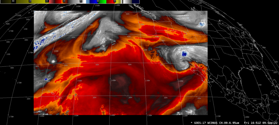
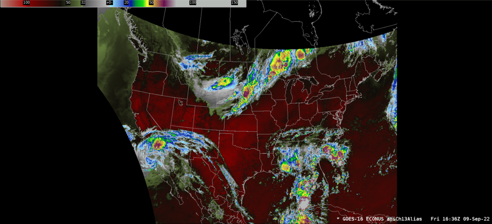
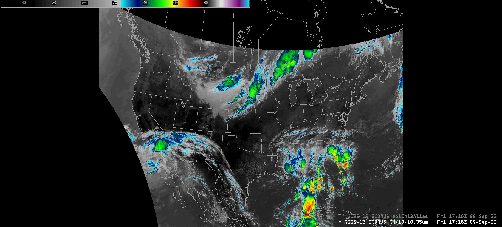
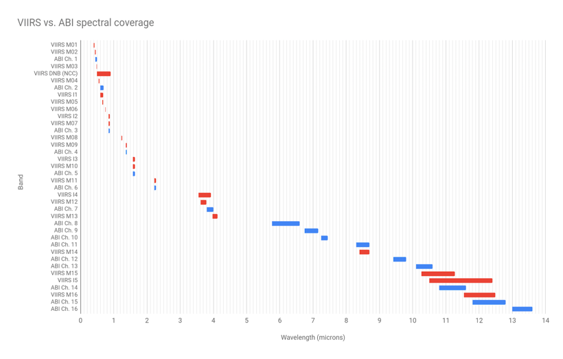
The GOES-R Sectorized Cloud and Moisture Imagery (SCMI) products monitor the Earth, atmosphere, and ocean system using the 16 spectral bands of the Advanced Baseline Imager (ABI) instrument aboard the GOES-East and GOES-West satellites. The measured reflectance/radiance within the visible/near-infrared and infrared bands are converted into brightness values (BVs) and brightness temperatures (BTs), respectively. These BVs and BTs are used to produce digital maps of clouds, moisture, and atmospheric windows, through which land and water are observed. There are several products using these single-band data. Channel differences and RGB composite imagery are among the popular derivatives. CMI data also provides input to scientific algorithms producing L2+ environmental products. SCMI products are available as rectangular tiles covering the geographic areas depicted here.
Limitations
Half-Disks Over the SBN: SCMI products denoted “Full Disk” (FD) on the Satellite Broadcast Network (SBN) cover only the Northern Hemisphere. (Among the NWS operations needing Southern Hemisphere SCMI, none depend on SBN for it.)
Full/Half-Disk Resolution Over the SBN: All SCMI products denoted “Full Disk” (FD) on the Satellite Broadcast Network (SBN) are resampled from their native (0.5km, 1km, or 2km) ground resolution to 6km resolution (to limit their file sizes).
Band 13 Full Disk imagery is sent over SBN at its full (2 km) ground resolution. (Like all “Full Disk” SCMI, it covers only the Northern Hemisphere: see previous note on “Half-Disks over the SBN.”)
AWIPS
Location: Satellite → GOES-East and GOES-West By Sector → select sector → Imagery Channels → select channel
Color Maps:
CH 01-06: GOES-R/VIS/VIS_gray_sq-root-12
CH 07: GOES-R/IR/enhanced-rainbow_warmer_yellow
CH 08-10: GOES-R/IR/ramsdis_WV_12bit
CH 11-16: GOES-R/IR/IR_Color_Clouds_Winter
Sampling:
CH 01-06 N/A
CH 07-16 in Kelvin
CH 13 alias in DegF
Quality Flags: DQF 0-3: good_pixels_qf, conditionally_usable_pixels_qf, out_of_range_pixels_qf, no_value_pixels_qf
Technique:
*See Limitations regarding Full Disk products over SBN


AWIPS Technical Details
Sector |
Full Disk, CONUS, Mesoscale 1, Mesoscale 2 Regional GOES-East: Puerto Rico Regional GOES-West: American Samoa |
Refresh Rate |
FD & Regional: 10 min CONUS: 5 min Meso-1 & Meso-2: 1 min |
Size |
GOES-East: ~63 GB/day GOES-West: ~70 GB/day |
Resolution |
Bands 1, 3, 5: 1 km (10,848x10,848 pixels) Band 2: 0.5 km (21,696x21,696 pixels) Bands 4, 6-16: 2 km (5,424x5,424 pixels) |
Data Source | SBN GRE/GRW |
Projection | GOES-R Fixed Grid |
Storage Location | /data_store/goes-r |
WMO Header | TI[RSU][A-VYZ][0|1][0-9] KNES |
Product Short Name | N/A (not through PDA) |
Data Path | GOES-R Ground System → NCF → SBN GRE/GRW |
AWIPS Configuration |
Baseline |
AWIPS Plugin | GOES-R |
Edex Purge Rule | 1 day baseline |
Use Cases & More
Using NOAA Satellite Data to Detect and Track Blowing Dust - B. Line, Satellite Book Club #94, April 21, 2022
GOES-R Satellite Applications for Heavy Rainfall - B. Haines, V. Vincente, Satellite Book Club #112, September 1, 2022
Use of the MOSHE Parameter to Identify Tornadic HSLC Environments - D. Kahn, Satellite Book Club #114, September 15, 2022
More information can be retrieved from VLab Data Format Registry, ATBD, Product Performance Guide, GOES-R, Quick Guides, and GOES User Guide.
Point of Contact: Tim Schmit
This page was last updated on May 20, 2024.