GOES CSM - Total Operational Weather Readiness - Satellites (TOWR-S)
GOES Clear Sky Mask
About
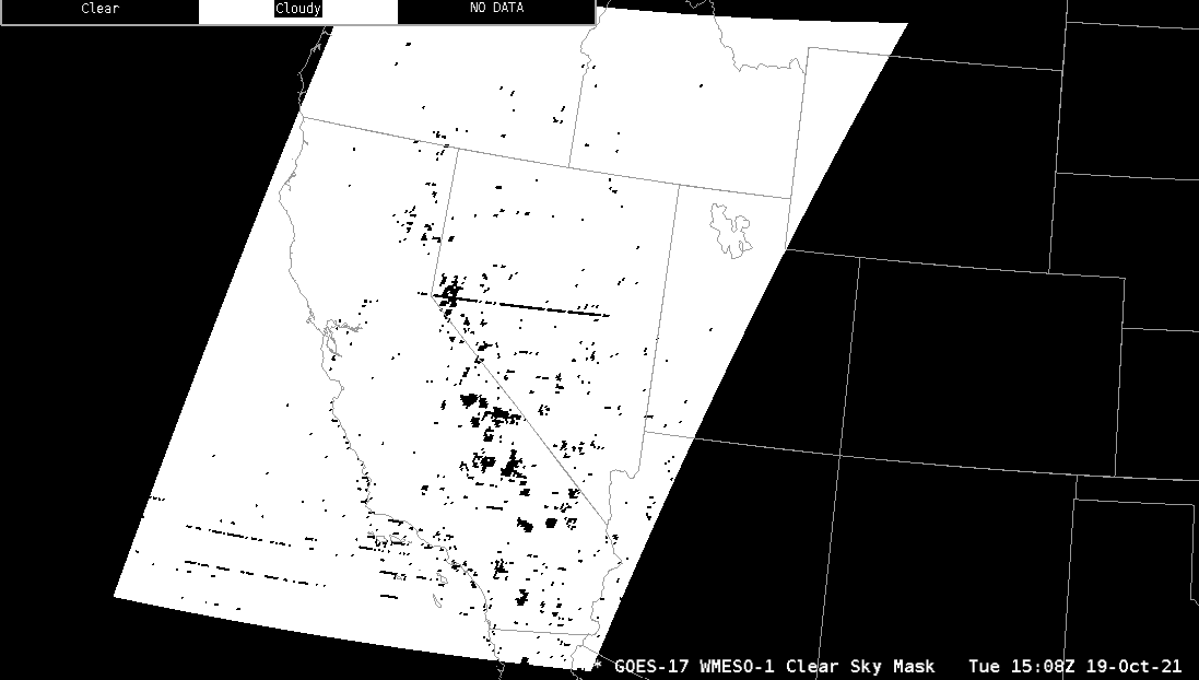
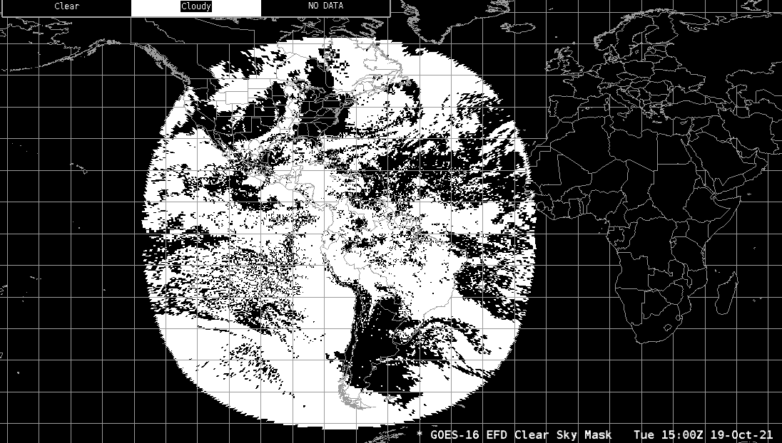
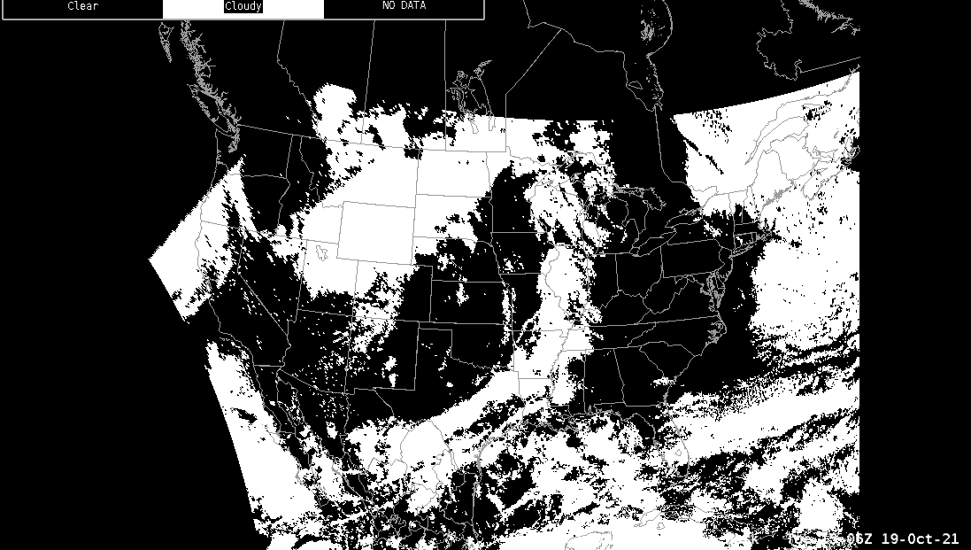
The GOES-R Clear Sky Mask (occasionally referred to as "Cloud Mask") product consists of a binary cloud mask identifying pixels as clear or probably clear, or cloudy or probably cloudy. The binary cloud mask is provided to NWS AWIPS users as the “Clear Sky Mask.” It is generated through a series of cloud detection threshold tests that key on the spatial, spectral, and temporal characteristics associated with the cloud and clear-sky states. Product data is generated both day and night. Clear Sky Mask uses GOES-R bands 0.64 um, 1.38 um, 1.61 um, 3.9 um, 7.0 um, 7.4 um, 8.5 um, 11.2 um, and 12.3 um.
Limitations
The algorithm relies on spectral, spatial and temporal tests. The performance of the cloud mask is therefore sensitive to any imagery artifacts or instrument noise. Calibrated observations are critical because the cloud mask compares the observed values to those from a forward radiative transfer model.
Misclassification: Misclassification can occur near coastlines, for warm low clouds, in regions far from nadir, and near new snow edges, especially over mountains.
Day/Night: The channels used differ between day and night and the terminator is typically visible.
Night FLS: Low clouds at night are the most challenging cloud to detect.
AWIPS
Location: GOES-East and GOES-West By Sector → choose sector → Derived Products → Clear Sky Mask
Color Maps: GOES-R/GOESR-L2/CSM.cmap. The colormap is binary. Areas of cloud are colored white, while clear areas are colored black
Sampling: The mouse cursor reads out "Clear", "Cloudy", or "NO DATA" depending upon the pixel value.
Quality Flags: A “good quality” flag mask is used to retain pixels that meet good quality thresholds.
Technique: This product is useful when trying to assess the presence of clouds, especially high cirrus clouds or very low stratus clouds. Such clouds are often not easily discernible in satellite imagery.
The Clear Sky mask may be used to complement products that highlight non-cloudy areas, such as the surface. For the NDVI (Vegetation) Channel Difference, an overlay of the Clear Sky Mask is included in the AWIPS menu item to block out clouds so that surface features (vegetation) are accentuated.


AWIPS Technical Details
Sector | Full Disk, Conus, and Mesoscale |
Refresh Rate | Full Disk: 10min; Conus: 5min; Mesoscale: 1 min |
Size | ~1.5 GB/day; 65 MB/hour |
Resolution | 2km at nadir |
Data Source | PDA |
Projection | GOES-R Fixed Grid |
Storage Location | /data_store/goes-r/ |
WMO Header | GOES-East: IXTH99 KNES; GOES-West: IXTH89 KNES |
Product Short Name | OR_ABI-L2-ACM[F|C|M1|M2] |
Data Path | SBN EXP |
AWIPS Configuration | Baseline |
AWIPS Plugin | goes-r |
Edex Purge Rule | 1 day baseline |
Use Cases & More
More information can be retrieved from Quick Guide, STAR.
Point of Contact: Andrew Heidinger
This page was last updated on March 26, 2024.