About
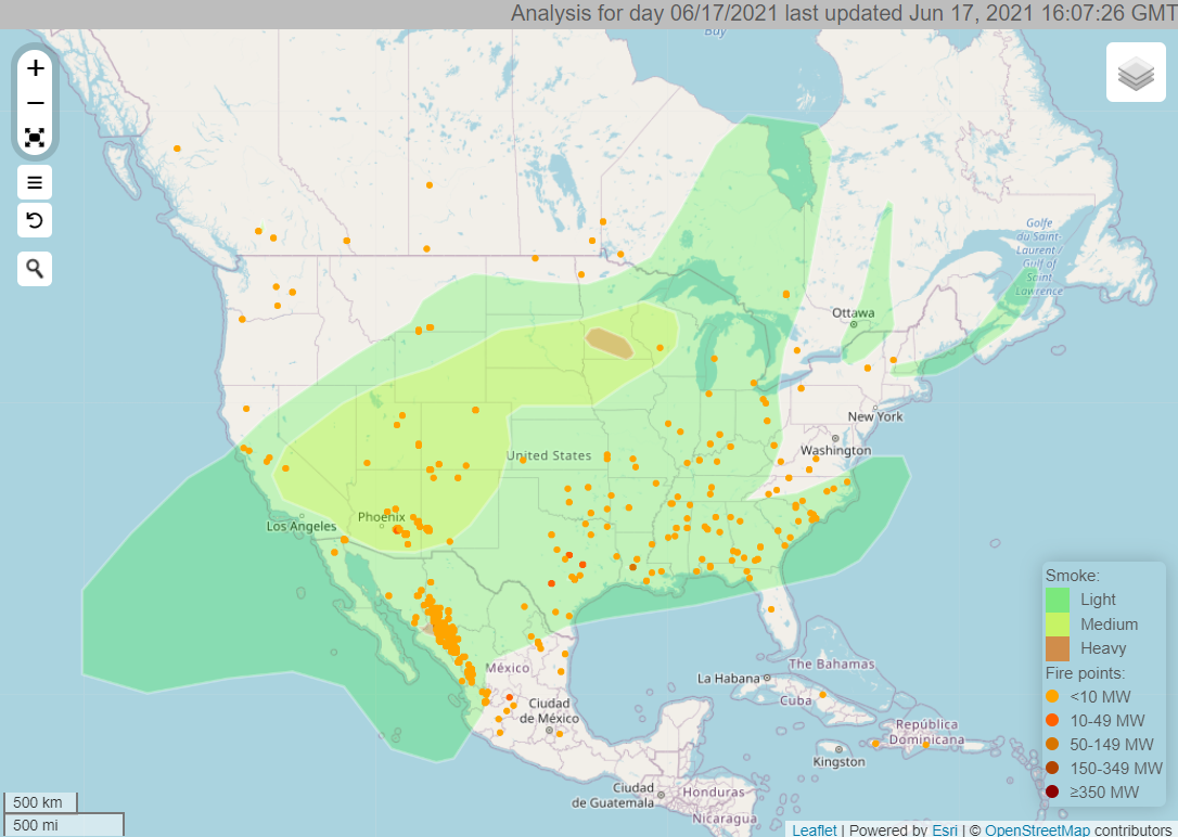
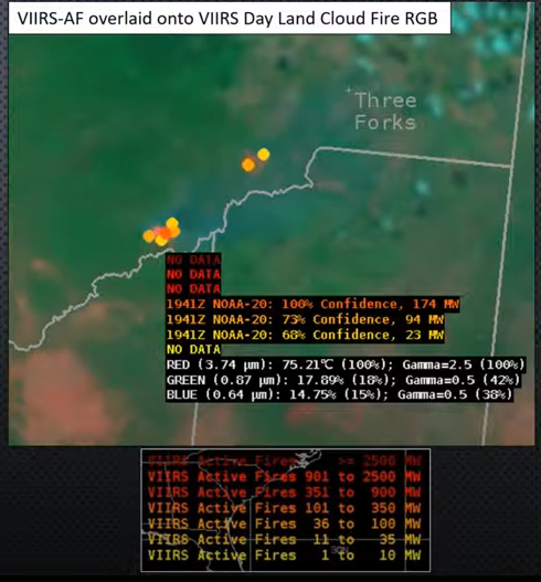
The Visible Infrared Imaging Radiometer Suite-Active Fires (VIIRS-AF) product provides information on thermal anomalies for each location across the globe at least twice a day. VIIRS-AF includes data on fire location, fire intensity, and ‘fire confidence’ (expressed in percentage), which can assist Incident METeorologists (IMETs) and deployed meteorologists in relation to operational response decisions. Product information is used in monitoring the distribution of fires, their intensities, as well as identifying new fires.
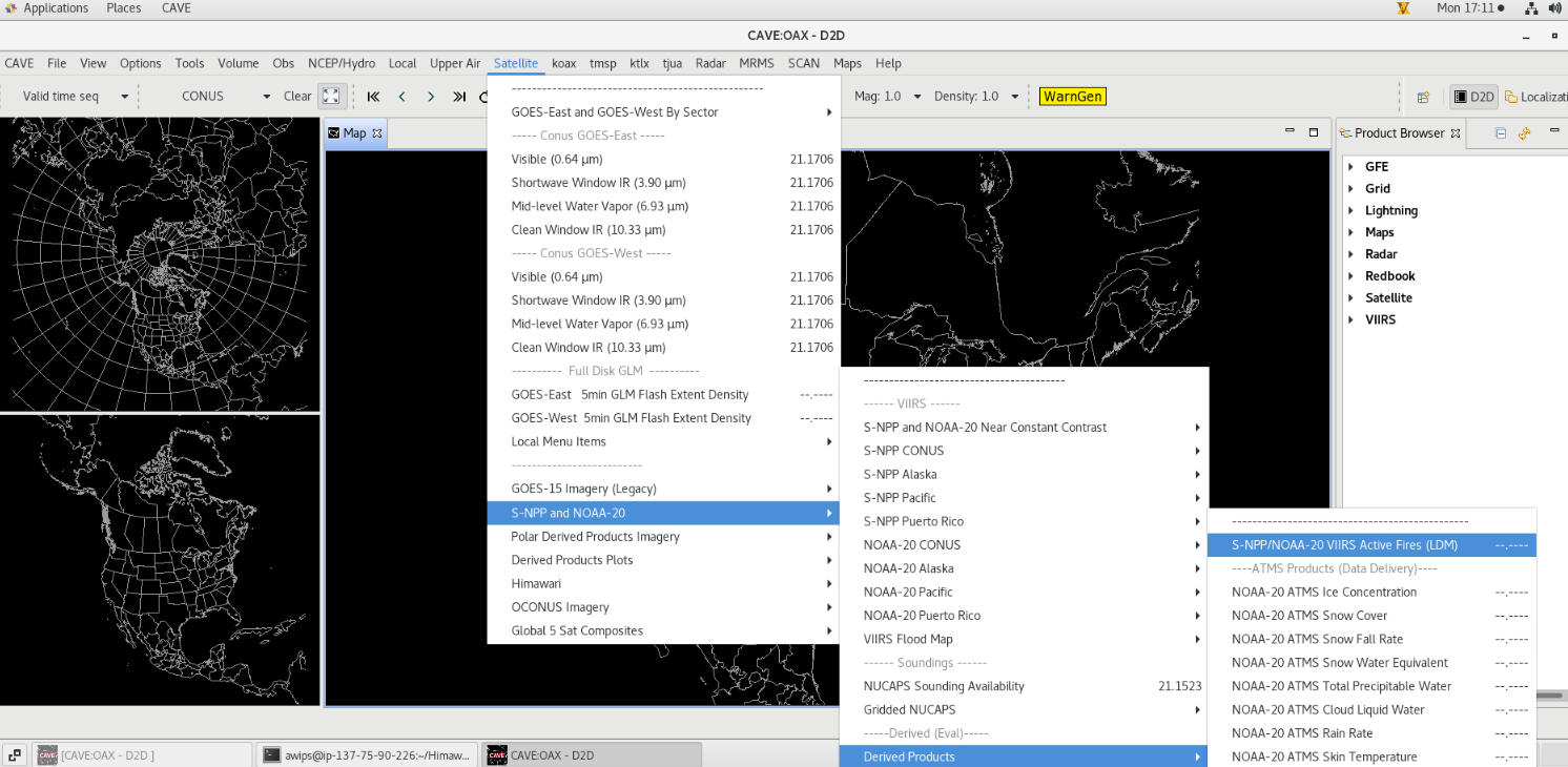
VIIRS-AF was adapted from the long-used fire data algorithm MODIS and provides large netcdf files containing data on fire position, fire mask, brightness temperature, FRP, confidence value, etc. This data is then placed into comma-delimited tables which is then turned into a map by the Hazardous Mapping System for daily fire and smoke analysis by the Satellite Analysis Branch (SAB). The data is checked for quality when it reaches the mapping stage. Data is uploaded every 86 seconds.
Primary Uses
Fire Location: Identifying and locating fires, along with point sources for smoke.
Fire Radiative Power (FRP): Higher FRP values equate with higher fire intensity and/or larger fires. Smoldering fires are generally 175-575°C whereas intense fires reach 525-925°C. Burning characteristics also depend on fuel type, moisture, temperature and wind.
Small-Scale Fires and Features: At ~750-m resolution, VIIRS-AF detects smaller and cooler fires than GOES. VIIRS-AF also detects gas flares.
Limitations
Obscuration: Thin clouds and thick smoke may lower fire intensity values. Areas with thick clouds are masked by the internal cloud mask.
False Alarms: During the daytime, potential false alarms include reflected solar radiation from solar panels, hot and bright surfaces and cloud glint.
Frequency: The frequency of polar-orbiting data is at least 2 times per day, per satellite, unlike geostationary data which exhibit higher temporal resolution.