


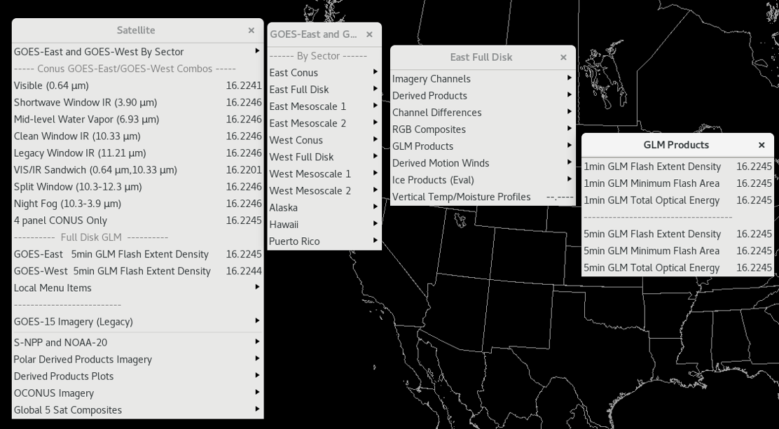
Gridded GLM Tiles - Total Operational Weather Readiness - Satellites (TOWR-S)
About
The Geostationary Lightning Mapper (GLM) sensors aboard the GOES-East and GOES-West satellites report the vast majority of lightning in the Western Hemisphere. GLM data improves lightning safety, severe thunderstorm and tornado warnings, safety and effectiveness of wildfire response, short term model forecasts (via data assimilation), precipitation estimation, tropical cyclone diagnosis and warning, and climate applications. It provides a national and international baseline of publicly available lightning data and establishes a baseline for widespread government and industry implementation and cooperation.
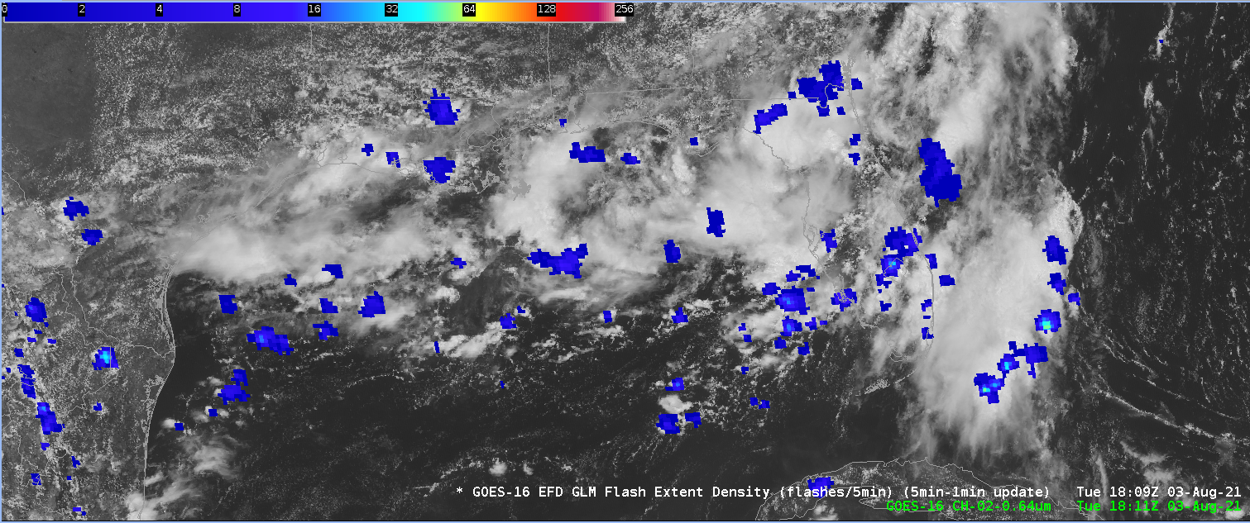
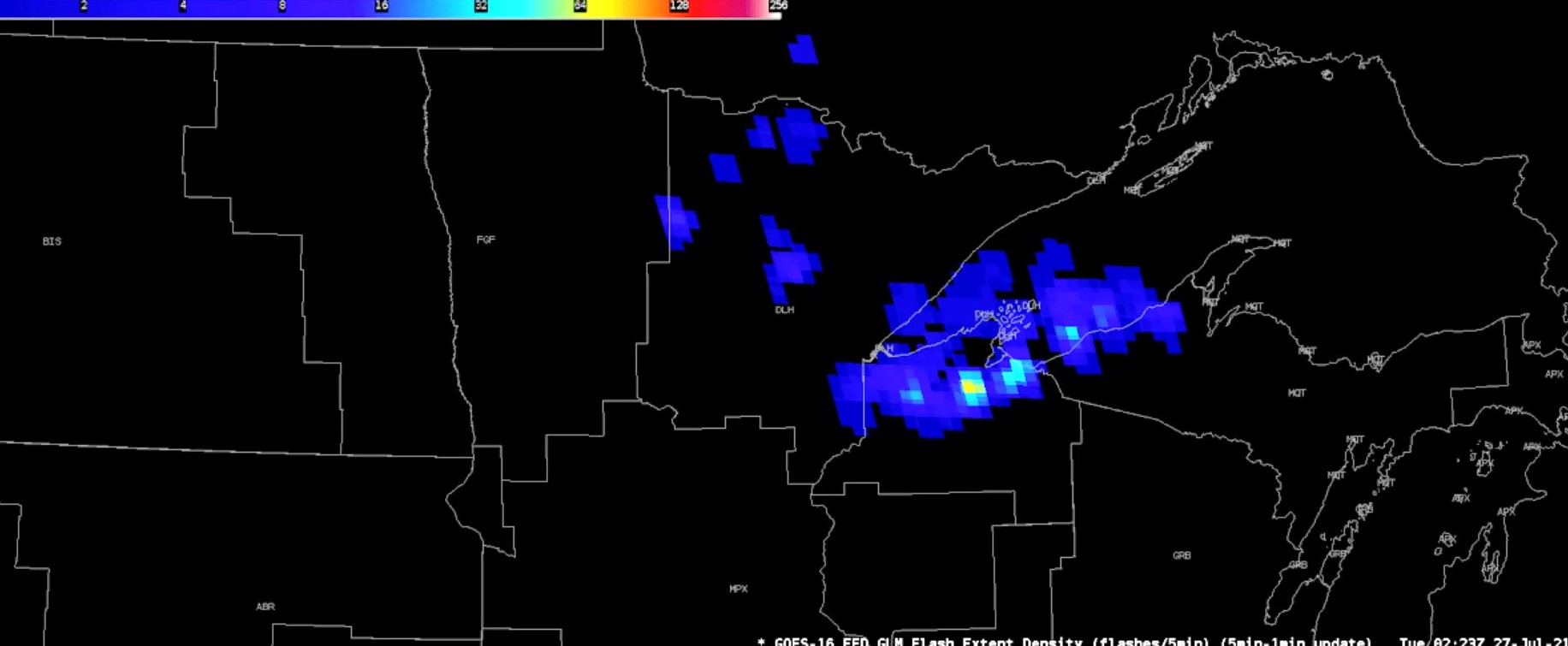
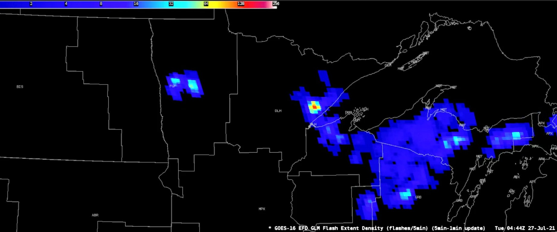
The Gridded GLM product includes three lightning parameters: Flash Extent Density (FED), Minimum Flash Area (MFA), and Total Optical Energy (TOE). FED is a measure of lightning flashes in a time interval. MFA is the smallest area - from about 64 km² to 2000 km² - a lightning flash covers during the time interval. TOE is the sum of all optical energy in the 4 km² GLM grid cell. Each product is produced at 1 minute and 5 minute time intervals; the 1-minute products will be available over the Satellite Broadcast Network (SBN) beginning March 2023; the 5-minute products are available via LDM.
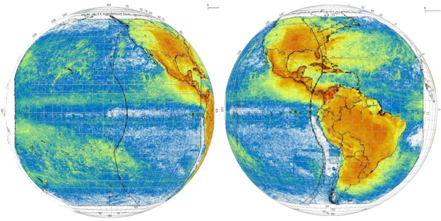
The Gridded GLM products follow a "punctured" tiling scheme, where 62 tiles represent the full disk for one scene time. In each minute, only tiles with at least one lightning flash detected (i.e. tiles with content) are produced. Thus in each minute, many fewer than 62 tiles are produced. The tiling schemes for GOES-West and GOES-East consist of rectangles numbered 000-061 and labeled "PAA" through "PCJ", as depicted below.

Each tile's rows and columns are defined in geostationary sensor coordinates (i.e., view angles). Each file includes the projection details needed to transform these sensor coordinates into longitude and latitude positions on earth. The composition of a scene consisting of tiles is similar to the format of GOES Sectorized Cloud and Moisture, and for AWIPS users, is processed in the same manner. Metadata for a single product tile prepared by the GOES-R Ground Segment is linked here. This represents the file formatting that will go in production over the SBN beginning in March 2023. A sample product tile (netCDF) can be accessed at this link.
In each minute, a separate "GLMFDSTAT" file, in NetCDF format, is also produced for each satellite, listing which tiles were produced in that minute. This file is not needed to handle the 1-minute tiles; but may be used to aggregate lightning activity (e.g., every 5 or 30 minutes). These GLMFDSTAT files are labeled "PZZ" to distinguish them from the gridded GLM data tiles. A sample GLMFDSTAT file in text form can be accessed at this link.
Limitations
Poor Sensitivity at Edge of FOV: GLM pixel size increases toward the edges of field of view (FOV), reducing detection efficiency as smaller/weaker flashes are less likely to be detected. Reduced GOES-East GLM performance in the Northwest US relates to the proximity to the edge of the FOV, where larger pixels and steeper viewing angles reduce the instrument sensitivity. This limitation also appears for the GOES-West GLM, with similarly poor relative performance over the Eastern US near the edge of its FOV.
Higher Latitude Coverage: Due to the limited geographic coverage of the GOES GLM instruments - which is less than the ABI Full Disk - neither GOES-East nor GOES-West produce data above 55 deg N. Therefore Alaska is not seen by the GLM, save for the southernmost Aleutian Islands.

Submit questions and suggestions for the TOWR-S pages using this short form.