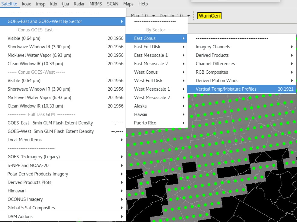
GOES Soundings - Total Operational Weather Readiness - Satellites (TOWR-S)
GOES Soundings
About
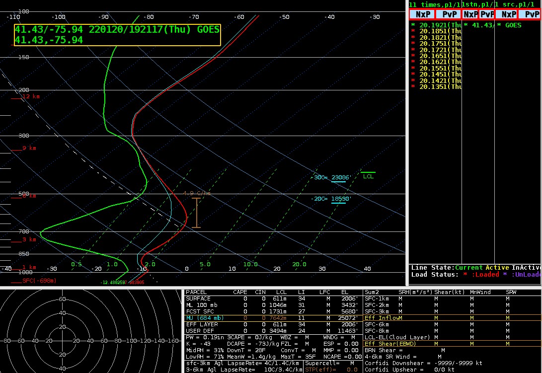
GOES Sounding products include the Legacy Vertical Temperature Profile (LVTP) and Legacy Vertical Moisture Profile (LVMP). These are three-dimensional pixel grids identifying the air temperature or water vapor at 101 multiple standard atmospheric pressure levels. As of late March 2022, the product available on SBN has 34 vertical pressure levels and requires the TOWR-S RPM v22 or later. (The precursor sounding products, not on SBN, have 101 levels.)
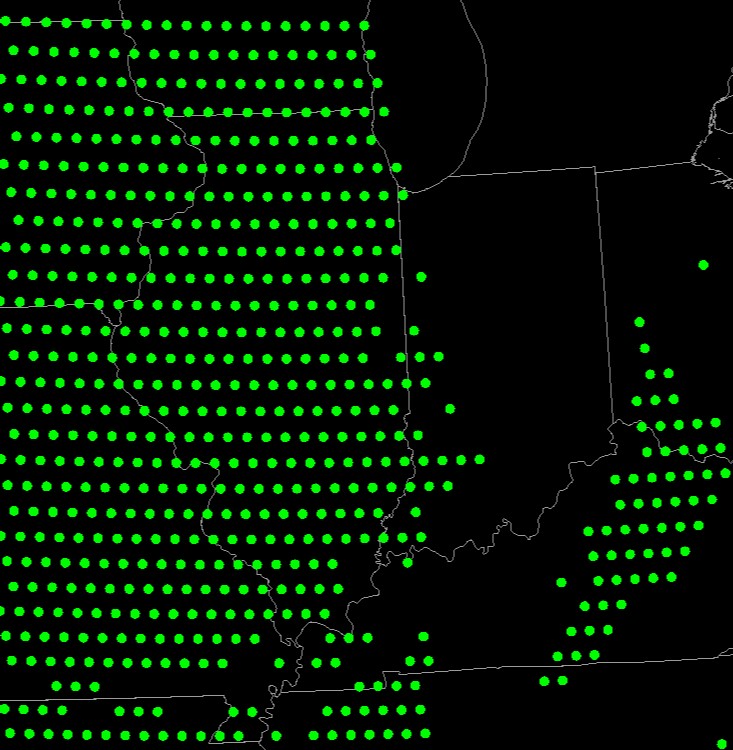
Each product includes three types of data quality information. One describes the overall quality of the data pixels, providing an assessment of the derived stability indices data values for on-earth pixels. The second provides information about the quality of the physical retrieval for on-earth pixels, identifying failure conditions. The third provides information about the quality of the first guess skin temperature for on-earth pixels, identifying temperature threshold failure conditions for on-earth pixels. The Derived Stability Indices product images are produced on the ABI fixed grid at 10 km resolution for Full Disk, CONUS, and Mesoscale coverage regions. Product data is produced under the following conditions: Clear sky; Geolocated source data to local zenith angles of 80 degrees for both daytime and nighttime conditions.
Limitations
Accuracy: LVTP is accurate within 1K and precise within 2K below 400hPa and above boundary layer. LVMP is accurate within 18-20% and decreases in accuracy as pressure decreases.
Vertical Resolution: Profiles are limited by the ABI with poor vertical information compared to high-spectral resolution infrared sounders.
Cloud Cover: Data is not produced in areas with thick cloud cover.
AWIPS
Location: Satellite → GOES-East and GOES-West By Sector → [select sector] → Vertical Temp/Moisture Profiles
Color Maps: N/A
Sampling: Degrees Celsius, Millibars (mb)
Quality Flags: DQF_Overall
Technique: The Legacy Vertical Temperature Profile product estimates levels of temperature throughout the troposphere. This product is used by NWS field forecasters and in numerical weather prediction models, providing information regarding the vertical temperature structure of the atmosphere. The vertical temperature structure information provided by this product is important for severe weather prediction as it is used to compute a number of atmospheric stability parameters which provide guidance to weather forecasters on the stability of the atmosphere.
The Legacy Vertical Moisture Product estimates levels of moisture throughout the troposphere, providing a vertical profile of moisture. This product is computed simultaneously with the vertical temperature profile, thus providing a thermodynamic vertical profile of the atmosphere. Knowledge of the vertical distribution of atmospheric moisture is critical to forecasting severe weather. This vertical moisture information also serves to initialize the moisture field in regional and mesoscale numerical weather prediction models.


AWIPS Technical Details
Sector | CONUS/Mesoscale (Full Disk available on PDA) |
Refresh Rate | 30min/5min |
Size | 1.41 GB/day |
Resolution | 10km horizontal, 3-5km vertical |
Data Source | PDA |
Projection | GOES-R Fixed Grid |
Storage Location | /data_store/goes-r |
WMO Header | LVTP: IXTQ[89/99] KNES; LVMP: IXTP[89/99] KNES |
Product Short Name | OR_ABI-L2-LVTPR[F/C/M1/M2]; OR_ABI-L2-LVMPR[F/C/M1/M2] |
Data Path | SBN EXP |
AWIPS Configuration | TOWR-S RPM v22 required for 34-level product over SBN |
AWIPS Plugin | GOES-R |
Edex Purge Rule | 1 day baseline |
Use Cases & More
More information can be retrieved from GOES-R Series PUG, LVTP NCEI, LVMP NCEI, and ATBD.
Point of Contact: Tim Schmit
This page was last updated on March 26, 2024.