


ARIjs1 - OCLO
ARIs Job Sheet 1
Jobsheet #1: Loading Spatial Plots of ARIs
Loading ARIs from the Product Browser
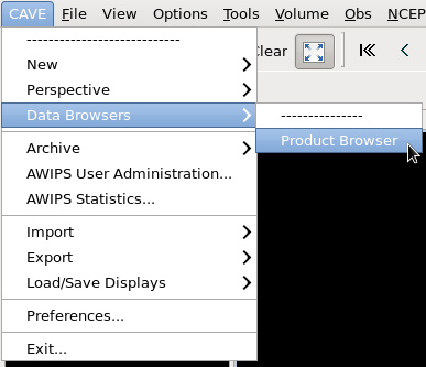
- Select CAVE->Data Browsers->Product Browser from the CAVE menu (Fig. 1).
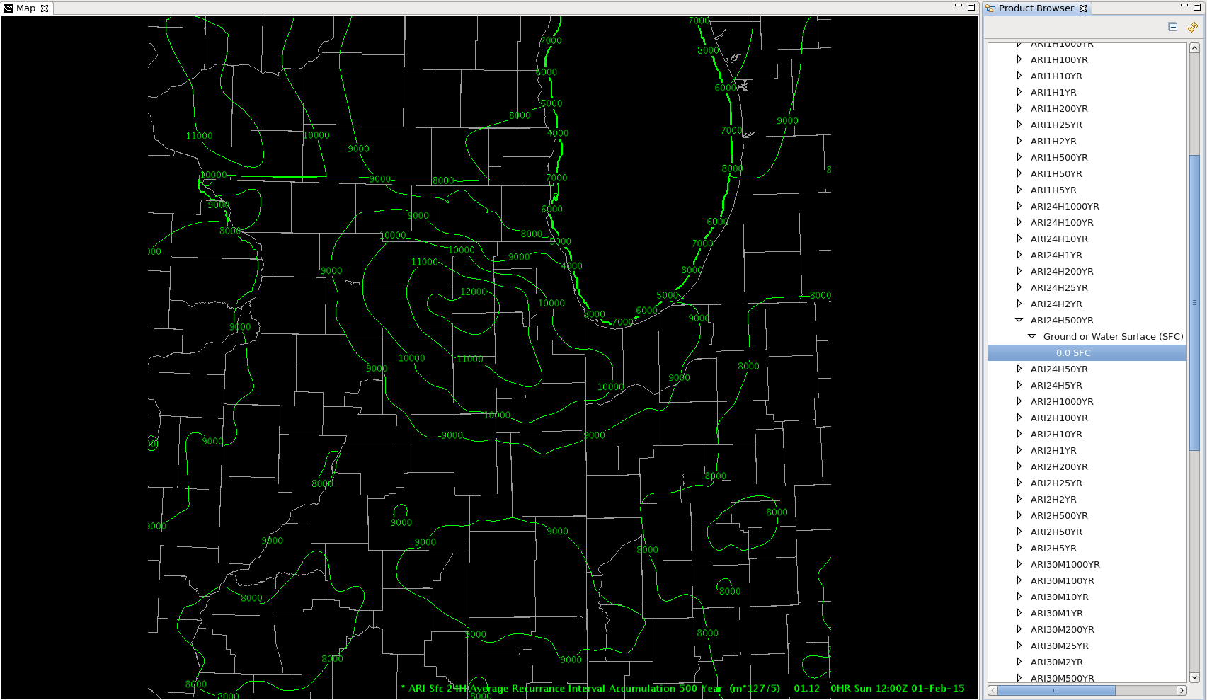
- Select Grid->ARI->ARI#H#YR->Ground or Water Surface (SFC)->0.0 SFC and double click on 0.0 SFC in Product Browser (Fig. 2).
- e.g. Grid-> ARI-> ARI24H500YR-> Ground or Water Surface (SFC)-> 0.0 SFC for 24hr 500 year ARI
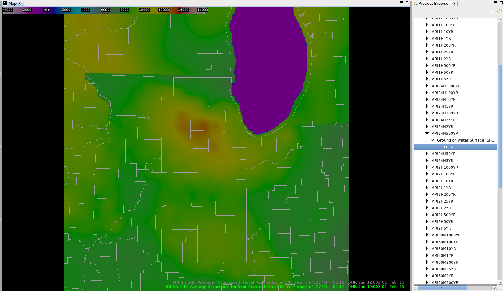
- Right click and hold inside the text legend in the bottom right part of CAVE and select Load as Image (Fig. 3).
- Note: ARI imagery loaded through the Product Browser is displayed in thousandths of an inch (10,000 is 10 inches), so divide by 1000 to identify the ARI precipitation in inches.
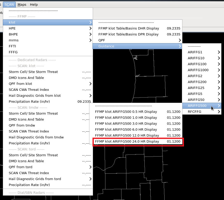
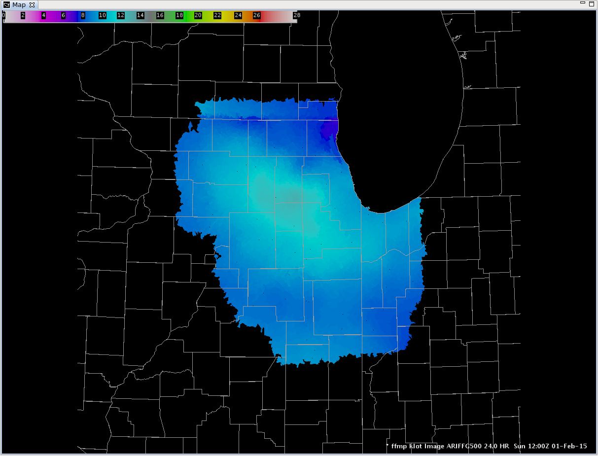
Loading ARIs from FFMP