Lightning R2O incorporates data from ground-based systems managed by Earth Networks Inc. and Vaisala, Inc., Lightning Mapping Arrays managed by various govt agencies and universities, and the very new GOES Lightning Mapper that is currently on three GOES-NEXT birds. R2O also includes how to ingest the data into AWIPS and N-AWIPS for use by forecasters and scientists, making sure the format is correct, that visualization and analysis of the data enables use for many facets of forecasting operations such as fire weather, hurricane support, aviation, etc., and that forecasters have the proper training to use the data on NWS systems and also contractor systems. R2O also addresses use of satellite-based data and how it varies from ground-based data.
▌TOP NEWS
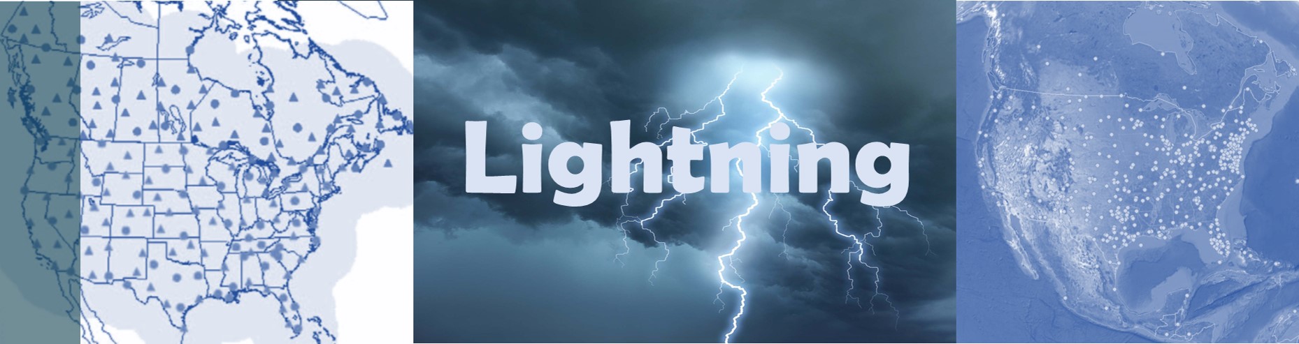
This is the 6th year with meteorologists and scientists having access to lightning data coming from two ground-based lightning detection systems (contracted with Vaisala and Earth Networks Inc) and from three new geostationary satellites (GOES-16, GOES-17 and GOES-18). Many forecasters are seeing the advantages of having both data sets for many IDSS-related events arising from severe thunderstorms, hurricanes, hazardous aviation weather, etc. A new contract for the ground-based systems will be coming in next 12 months. We are excited to see what comes from newly launched GOES-U!