
RWPS - OSTI Modeling
Purpose/Objective
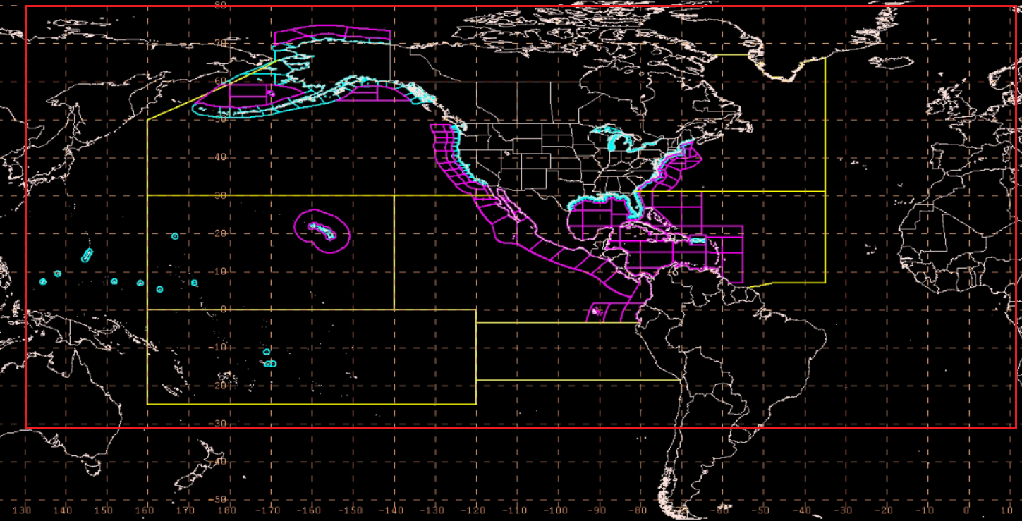
The overall objective of this project is to develop and implement into operations a Regional Wave Prediction modeling System (RWPS) that fulfills the needs of NWS marine coastal, offshore, and high seas areas of responsibility. The domain of the RWPS will cover the Atlantic, Pacific, and Arctic oceans equal to the bounds of the Oceanic Domain as developed for the National Blend of Models (NBM). For reference the NBM Oceanic Domain extends latitudinally from approximately 30°S - 80°N, and longitudinally from 130°E - 10°E.
The RWPS will serve as the basis for wave prediction for the deterministic National Digital Forecast Database and coastal, offshore, and high seas legacy text warning and forecast bulletins and derived products from gridded fields. The RWPS will utilize wind forcing from forecaster derived wind fields from coastal WFOs, national centers, and Honolulu Forecast Office and use the same concept of operations as the Simulating WAves Nearshore (SWAN) model based Nearshore Wave Prediction System (NWPS) and Great Lakes Wavewatch Model but cover all NWS ocean areas of responsibility. The RWPS will level the playing field and bring equitable capabilities across all NWS offices with ocean and coastal marine warning and forecast responsibility. RWPS, when fully tested and successfully implemented into NWS operations, will replace the present day NWPS and provide the basis to build for the future as an integral component of the Unified Forecast System (UFS).
The RWPS will be NOAA WAVEWATCH III (WW3) based and be coupled with the Global Real Time Ocean Forecast System (GRTOFS) currents, the Los Alamos Department of Energy CICE6 ice model, STOFS water levels and NWS Psurge when tropical cyclones threaten. The RWPS will be developed in a manner similar to the Great Lakes and Lake Champlain Wave Models and run in real-time on the Weather and Climate Operational Supercomputing System (WCOSS). The RWPS will rely on boundary conditions from the global WW3 integrated in the GFS to ensure consistency of wave features developed outside of the oceanic domain.
Current (demonstration) system
There is no current demonstration system that covers the domain of the proposed RWPS with the exception of the WW3 integral with the GFSv16. The SWAN-based NWPS used across all coastal WFOs demonstrates in operations the concept of deriving high-resolution wave parameters via unstructured grids, and forced by forecasters’ derived winds.
Operational/Application (intended end state)
An ocean scale (as noted earlier) RWPS modeling system that is forced by collaborative wind forecasts on a regular schedule (3 or 6 hourly). The model will produce significant wave heights, peak period and direction, as well as decomposed wave systems output with their respective height, period, and direction with Gerling-Hanson plots. The modeling system will be coupled with the Global RTOFS currents to address wave, wind, and current interactions and the CICE6 ice model to address sea ice and the complex interface between ice and open ocean. Additionally, along the coast, to preserve current NWPS capabilities and applications, the model will be coupled with NOAA’s Rip Current and Wave Run Up models producing rip current, erosion, overwash probabilities as well as water levels output that account for wind surge and wave action. The output from this model will be used by OPC, TAFB, HFO and coastal offices to initialize their marine and surf forecasts and provide capability to evolve the current suite of digital and derived marine products and services.