Grassland Fire Weather Experiment - Operations Proving Ground
Grassland Fire Weather Experiment
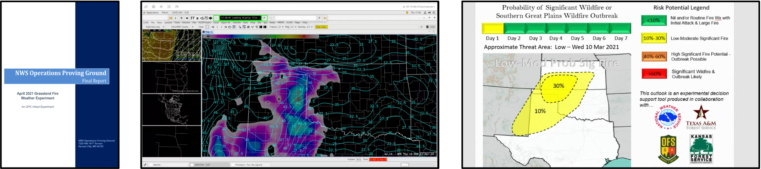
From 5–8 April 2021, the Operations Proving Ground (OPG) in collaboration with the Fire Weather Program, the Program Management Office, and local weather forecast office Subject Matter Experts (SMEs) conducted an experiment leveraging both real-time and archived data. Eighteen participants representing local and regional offices from the four CONUS regions (including four certified incident meteorologists [IMETs]), spent three days evaluating fire weather conditions with real-time data focused on the southern Great Plains. On the fourth day, the OPG loaded archive data from a major fire outbreak in April 2018 into Cloud AWIPS. Participants evaluated data from this case in a displaced-real-time format allowing them to identify fires using satellite imagery and create mesoscale IDSS information using the ArcGIS Online (AGOL) platform. Click on the pictures below for full report document.