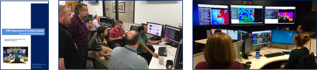
Digital Aviation Services Evaluation - Operations Proving Ground
Digital Aviation Services Evaluation
During the three-year period from 2016-2018, the National Weather Service (NWS) Operations Proving Ground (OPG) and Aviation Weather Testbed (AWT) collaborated on four separate experiments aimed at evaluating and improving Digital Aviation Services (DAS) in support of the NWS operational mission. DAS is the process of producing and editing aviation grids in NWS’ Advanced Weather Interactive Processing System (AWIPS) Graphical Forecast Editor (GFE) framework. Local Terminal Aerodrome Forecasts (TAFs) are then created from the edited grids using the TAF Formatter within GFE. Currently all Eastern Region WFOs are using DAS operationally. In Central Region, approximately 80% of WFOs are using DAS; and all will be by the end of FY18. Less than ten offices in Southern Regions have adopted the DAS methodology, and in Western Region, only four are using DAS experimentally. The primary reason for the slower acceptance in Western Region is that the DAS process has significant shortcomings in complex terrain.
The overarching goal of the DAS evaluations was to determine the ability of the Aviation Weather Center and WFOs to effectively collaborate on the production of national-scale grids of clouds and visibility that could serve the spectrum of service needs ranging from guidance for national air space traffic management down to local TAF-driven operations. Secondary, but important, objectives included assessing the capability to edit and produce representative aviation grids from a common starting point without causing adverse workload impacts; and evaluating the representativeness of output generated from aviation grids by the AWIPS TAF Formatter. Four evaluations were conducted from 2016 through 2018. Click on the pictures below for full report document.