Rotation Tracks - Warning Decision Training Division (WDTD)
Navigation Links
Products Guide
Rotation Tracks
Short Description
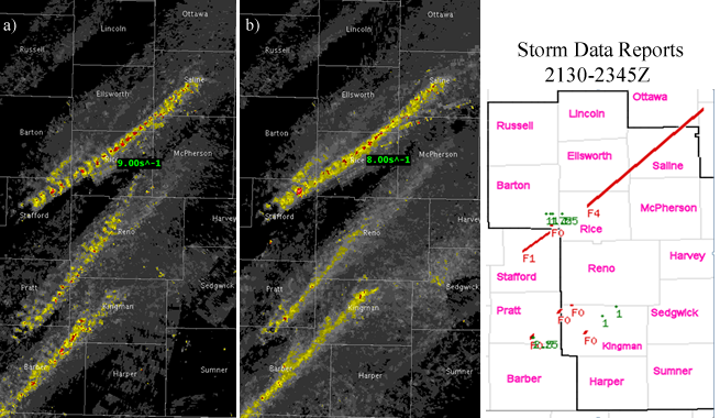
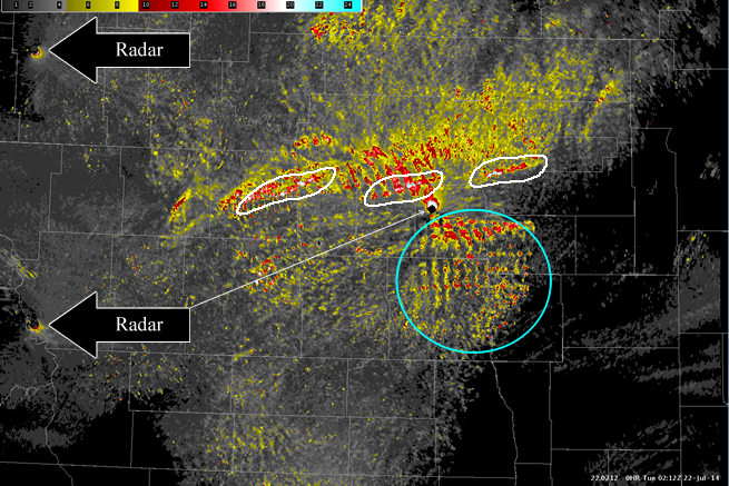
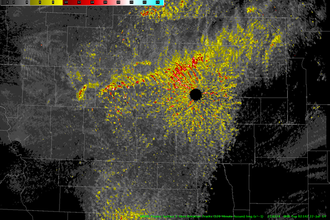
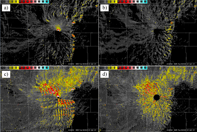
Maximum Azimuthal Shear in a specified layer for a specified time period.
Subproducts
Low-Level (0–2 km AGL) Rotation Tracks
- 30 minute
- 60 minute
- 120 minute
- 240 minute
- 360 minute
- 1440 minute
Mid-Level (3–6 km AGL) Rotation Tracks
- 30 minute
- 60 minute
- 120 minute
- 240 minute
- 360 minute
- 1440 minute
Primary Users
NWS: WFO, SPC
Other: FEMA, Local EM, Red Cross
Input Sources
Low-Level Azimuthal Shear (0–2 km AGL) or Mid-Level Azimuthal Shear (3–6 km AGL)
Resolution
Spatial Resolution: 0.005° latitude (~555 m) x 0.005° longitude (~504 m at 25°N and 365 m at 49°N)
Temporal Resolution: 2 minutes
Product Creation
Azimuthal Shear Tracks are computed by taking the maximum value of Azimuthal Shear over the specified time period.
Technical Details
Latest Update: MRMS Version 11.5
See the Azimuthal Shear product for technical information.
References
Lakshmanan, V., M. Miller, T. Smith, 2013: Quality control of accumulated fields by applying spatial and temporal constraints. J. Atmos. Oceanic Technol., 30, 745-757.
Miller, M. L., V. Lakshmanan, and T. Smith, 2013: An automated method for depicting mesocyclone paths and intensities. Wea. Forecasting, 28, 570-585.


