Rotation Tracks - Warning Decision Training Division (WDTD)
Navigation Links
Products Guide
Rotation Tracks
Short Description
Maximum Azimuthal Shear in a specified layer for a specified time period.Subproducts
Low-Level (0–2 km AGL) Rotation Tracks
- 30 minute
- 60 minute
- 120 minute
- 240 minute
- 360 minute
- 1440 minute
Mid-Level (3–6 km AGL) Rotation Tracks
- 30 minute
- 60 minute
- 120 minute
- 240 minute
- 360 minute
- 1440 minute
Primary Users
NWS: WFO, SPC
Other: FEMA, Local EM, Red Cross
Input Sources
Low-Level Azimuthal Shear (0–2 km AGL) or Mid-Level Azimuthal Shear (3–6 km AGL)Resolution
Spatial Resolution: 0.005° latitude (~555 m) x 0.005° longitude (~504 m at 25°N and 365 m at 49°N)
Temporal Resolution: 2 minutes
Product Creation
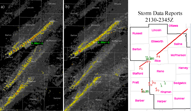
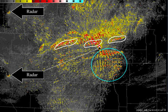
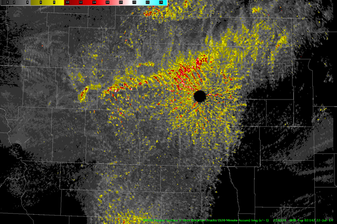
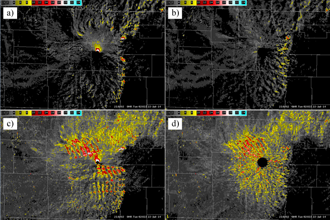
Azimuthal Shear Tracks are computed by taking the maximum value of Azimuthal Shear over the specified time period.Technical Details
See the Azimuthal Shear product for technical information.References
Lakshmanan, V., M. Miller, T. Smith, 2013: Quality control of accumulated fields by applying spatial and temporal constraints. J. Atmos. Oceanic Technol., 30, 745-757.
Miller, M. L., V. Lakshmanan, and T. Smith, 2013: An automated method for depicting mesocyclone paths and intensities. Wea. Forecasting, 28, 570-585.


