NOAA launches new hurricane forecast model as Atlantic season starts strong - NWS OSTI
News & Announcements

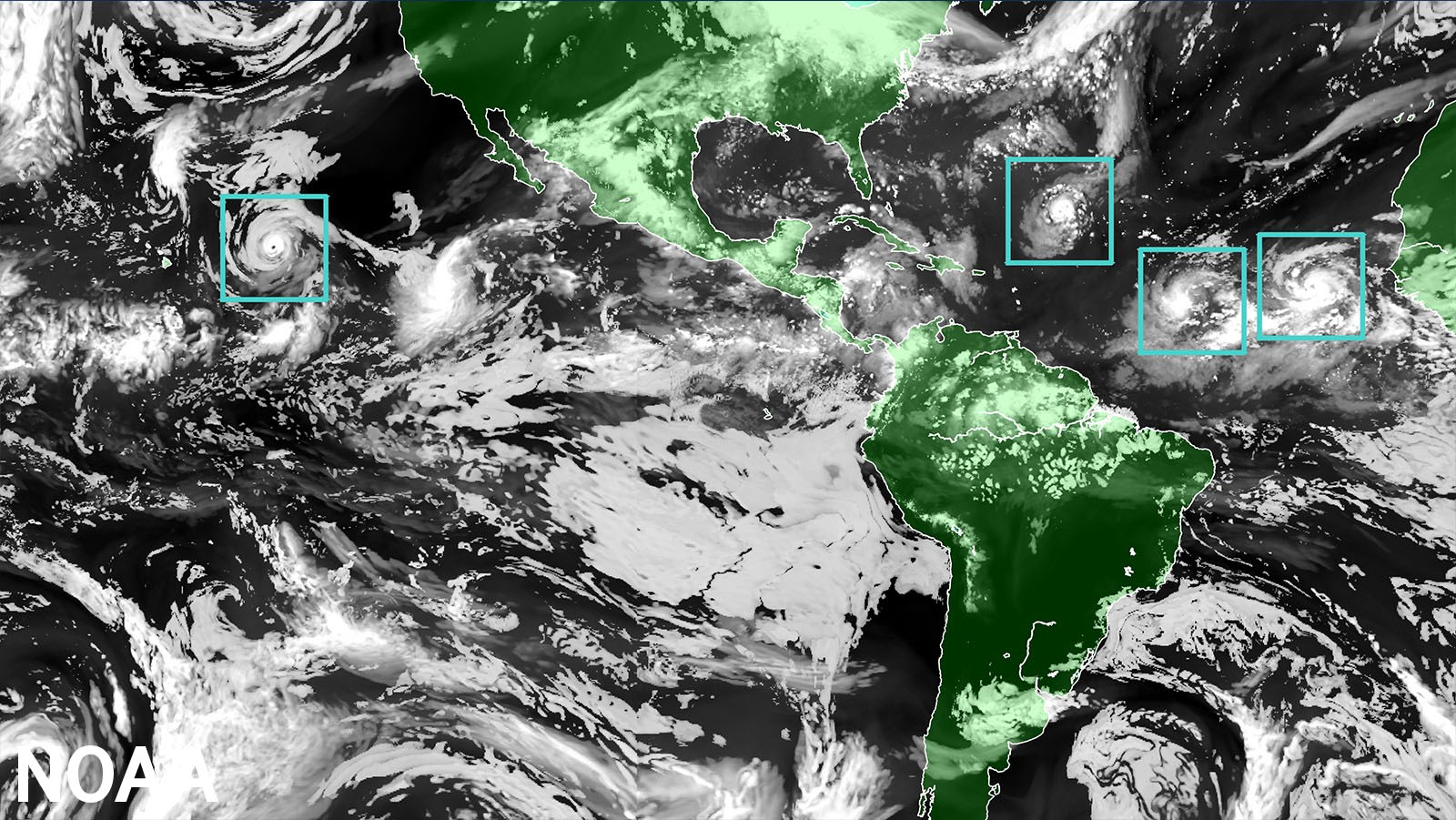
NOAA’s National Hurricane Center — a division of the National Weather Service — has a new model to help produce hurricane forecasts this season. The Hurricane Forecast Improvement Program (HFIP), a partnership across NOAA's NWS, OAR, and other line offices and community partners developed The Hurricane Analysis and Forecast System (HAFS) model which was put into operations on June 27 and will run alongside existing models for the 2023 season before replacing them as NOAA’s premier hurricane forecasting model.
"The quick deployment of HAFS marks a milestone in NOAA's commitment to advancing our hurricane forecasting capabilities, and ensuring continued improvement of services to the American public," said NOAA Administrator Rick Spinrad, Ph.D. "Development, testing and evaluations were jointly carried out between scientists at NOAA Research and the National Weather Service, marking a seamless transition from development to operations.”
- View Count
- 311 Views