
Then and Now: NOAA Hurricane Hunters - National Weather Service Heritage
Then and Now: NOAA Hurricane Hunters
By Emily Senesac (emily.senesac@noaa.gov)The howling winds, blinding rain, and violent updrafts of a hurricane are incredibly dangerous from the ground--but imagine flying a plane directly into the eye of the storm. In order to collect life-saving data and information, Hurricane Hunters pilot specially-equipped aircraft into developing hurricanes, risking their lives to track these treacherous storms.
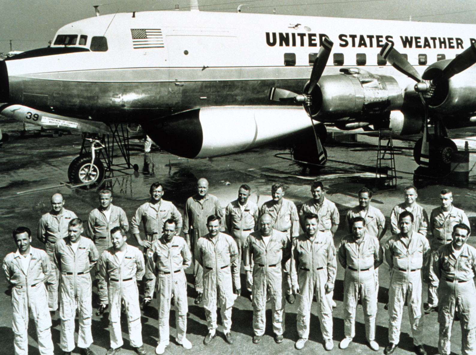
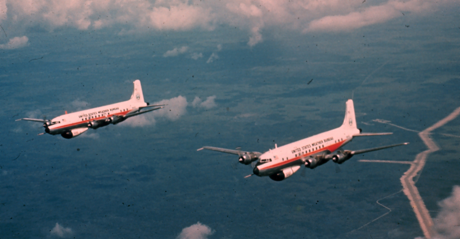
On September 11, 1961, Hurricane Carla made landfall on the coast of eastern Texas, causing torrential rains and extreme wind gusts. Known as the most intense and damaging hurricane to ever hit Texas, Hurricane Carla is historically significant for another reason: it was the first tropical cyclone to have its entire life history recorded by research flights. Throughout its evolution as a tropical depression, cyclone, and eventual hurricane, Weather Bureau aircraft flew investigatory missions into the storm and tracked its growing intensity and the conditions of the atmosphere.
The meteorological data collected during the first few years of flights helped scientists worldwide gain a better understanding of hurricanes, the atmosphere, and how the two interact. As technology continued to develop and improve throughout the 1960s and 1970s, Hurricane Hunters were able to record increasingly detailed information for meteorologists. These aircraft, maintained and operated by NOAA’s Office of Marine and Aviation Operations, were outfitted with very simple equipment by modern standards: temperature probes, pressure sensors, and radar systems that gave on-board meteorologists an up-close view of storm dynamics. In 1976, a radar with Doppler capability was developed for these aircraft, giving scientists their first look at three-dimensional wind flow in hurricanes and other convective systems.
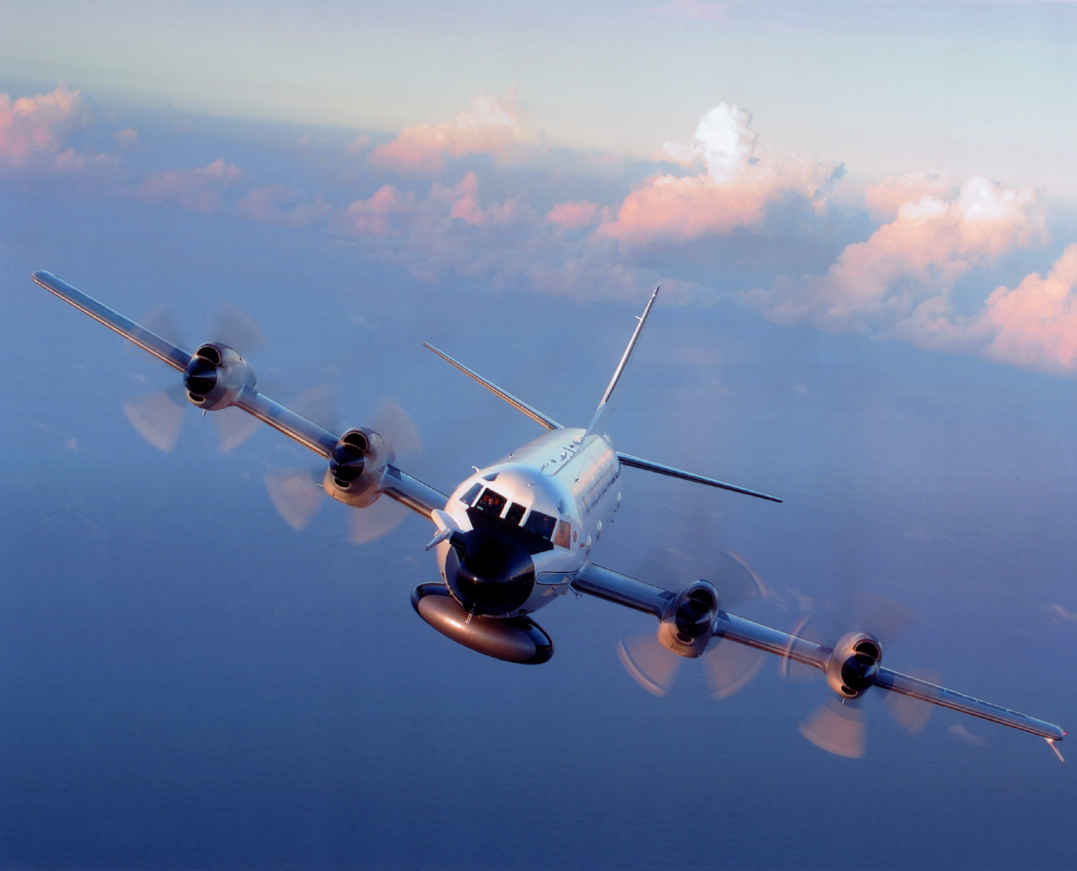
Today, NOAA’s Hurricane Hunter aircraft are equipped with technology far more advanced than that of the 70s, including highly accurate temperature, pressure, humidity, and wind sensors that provide a detailed look at the storm. Dual radar systems on the exterior of NOAA’s two Lockheed WP-3D Orions scan the storm both vertically and horizontally, giving scientists a real-time picture of the developing hurricane. With the use of bathythermograph probes, these advanced aircrafts can measure the changing temperature of the sea as the hurricane evolves. When called upon by the National Hurricane Center to conduct reconnaissance missions, these specialized aircraft are dispatched from the NOAA Aircraft Operations Center in Lakeland, Florida to identify the center of the storm and measure the central pressure and surface winds around the eye. Additionally, NOAA’s Gulfstream IV-SP jet flies at high altitude in and around the storm environment, collecting data to paint a detailed picture of the winds and weather systems in the upper atmosphere that surround and steer hurricanes. The crucial information resulting from all of this research contributes immensely to the safety of the people living or visiting along the vulnerable Atlantic and Gulf coasts, as well as the Hawaiian Islands.
Thanks to the brave Hurricane Hunters of NOAA, meteorologists have a better understanding of hurricanes than ever before. With this information, the NWS can ensure that people and property in hurricane-prone areas are as protected and prepared as possible.