
The Indian Ocean Tsunami of 2004: A Wake-Up Call - National Weather Service Heritage
The Indian Ocean Tsunami of 2004: A Wake-Up Call
By Emily Senesac (emily.senesac@noaa.gov) and Greg Romano (gregory.romano@noaa.gov)For many around the world, the day after Christmas is celebrated as another holiday, especially in Great Britain and nations where “Boxing Day” is a long-standing tradition. On that day in 2004, however, the world was shattered by one of the most devastating natural disasters in recorded history, forever changing humankind’s perception of tsunamis.
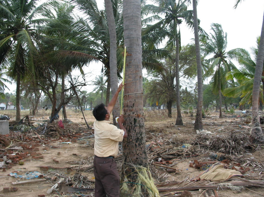
The Indian Ocean Earthquake and Tsunami killed approximately 228,000 people (the actual number is not known). Brought about by a massive and sudden uplifting of the subduction zone where the Burma and Indian Plates meet along the Sunda Trench, tsunami waves were generated that spread around the world, bringing wave heights of up to 100 feet to part of Indonesia. Property damage values amounted to more than $13 billion. The devastating tsunami was a grim reminder that existing forecasting abilities still needed to be improved, and served as a catalyst for that improvement, much of which would fall on NOAA and the National Weather Service.
The History of Tsunami Forecasting
In 1946, an 8.6 magnitude earthquake in Alaska caused a tsunami that killed more than 150 people in Hawaii--over 2,000 miles away from the epicenter. Two years later, in 1948, the Tsunami Warning System was born, with the intention of providing advance warnings and forecasts for impending tsunamis. Similarly, the Great Alaska Earthquake of 1964 served as a stark reminder that the tsunami threat was not just a distant concern, but could occur close to home. The U.S. West Coast and Alaska -- now National -- Tsunami Warning Center was established in 1967 specifically to provide warnings for these short-fused events.
Since then, NOAA (and its predecessor organizations) has been the federal agency responsible for tsunami warnings in the U.S. and its surrounding territories. From the late 1940s until very recently, scientists based tsunami warnings on the location and magnitude of earthquakes, combined with database information on past earthquakes and tsunamis. The warnings themselves consisted of the forecast arrival time of the first tsunami wave, and were directed at select locations around the Pacific Ocean basin likely to be affected. It was up to each nation to decide what actions to take along their coastlines, and the tsunami warning focal point would make that choice based on the size, location, and depth of an earthquake, taking into account the effects of past tsunamis on their coasts.
The Pacific Tsunami Warning Center (PTWC), the organization responsible for issuing tsunami watches and warnings, operated on the basis of extreme caution; as a result, sometimes warnings or watches were issued that proved to be unnecessary, as a tsunami wasn’t generated. However, it was the position of the Center that it was far better to “overwarn” than “underwarn”, and that unnecessary, frequent warnings were preferable to not having warnings at all.
Beginning in the mid-1990s, NOAA began the process of modernizing and developing inundation forecast models for tsunamis with the goal of improving forecast and warning capabilities. In 1995, Congress directed NOAA to establish the National Tsunami Hazard Mitigation Program that sought to improve tsunami preparedness in U.S. coastal communities via improved warning guidance and hazard assessment. In addition, NOAA’s Pacific Marine Environmental Laboratory (PMEL) used a quarter century of tsunami research to develop and deploy real-time, deep-ocean tsunami measuring technology known as DART® (Deep-Ocean Assessment and Reporting of Tsunamis) buoys in the Pacific Ocean. The DART is a two-part device, consisting of a pressure sensor on the ocean floor that senses the presence of a tsunami wave and a surface buoy that receives information from the sensor. After receiving the data, the buoy then transmits this information via satellite to the National Data Buoy Center (NDBC), where it is relayed to the NWS Telecommunications Gateway. Once there, the data is placed on the Global Telecommunications System (GTS) and is then forwarded to the NOAA Tsunami Warning Centers in Hawaii and Alaska. With this technology, scientists are better able to determine whether or not the tsunami poses a threat to distant coastlines as it propagates across the ocean basin. The development of the DART, in addition to tsunami forecast models created by PMEL, enabled scientists to better predict time of arrival, height, and duration of tsunamis.
However, these advances did little to prepare those in the path of the Indian Ocean tsunami. Only a few DART buoys had been deployed then, and all in the Northern Hemisphere. Communications of tsunami warnings -- well established in the U.S., Japan, and other Northern Hemisphere nations -- were sorely lacking in the Southern Hemisphere. There was no advanced tsunami warning system in the Indian Ocean. Nevertheless, PTWC staff did what they could to warn nations of the danger, including working with the U.S. State Department to alert nations in East Africa well in advance of the tsunami's arrival, possible saving thousands of lives.
The Indian Ocean tragedy was a wake-up call to the world about the dangers of tsunami. In its aftermath, NOAA initiated a six-fold increase in the number of DART buoys in several oceans worldwide, and continued efforts to improve forecasting. Since their deployment, DART buoys around the world have detected 47 significant events.
In addition, NOAA scientists worked tirelessly to develop the modern system of tsunami forecasting. Today, using information about the shape and depth of the ocean bottom, as well as information about the topography of the shorelines, current forecasting models can now predict the arrival time, duration, height, and extent of flooding in specific locations for a tsunami. Additionally, today’s technology allows for increased knowledge of the fault geometry of the earthquake.
Preparing for a Tsunami Today and Tomorrow

Although tsunamis are among the rarest of natural disasters, their potential impacts are great. Fifteen years after that fateful morning, the United States and the world are much better prepared for, and ready to respond to, tsunami warnings when they occur.
In the wake of the Indian Ocean tsunami, the responsibilities of the National Weather Service’s Tsunami Warning Centers were expanded. Today, the National Tsunami Warning Center in Palmer, Alaska serves the continental United States, Alaska, and Canada. The PTWC in Honolulu, Hawaii directly serves the State of Hawaii, American Samoa, Guam and the Commonwealth of the Northern Marianas Islands, Puerto Rico, and the U.S. Virgin Islands. It is the primary Tsunami Service Provider for the Pacific and Caribbean ocean basins. The Intergovernmental Oceanographic Commission of UNESCO’s warning systems for the Pacific and Caribbean has two tsunami collaborative programs in which the U.S. participates: the Pacific Tsunami Warning System (PTWS), and the CARIBE-EWS for the Atlantic/Caribbean.
Educating and preparing communities vulnerable to tsunamis has also been a priority. The National Tsunami Hazard Mitigation Program -- a federal/state partnership that includes NOAA, the Federal Emergency Management Agency, the U.S. Geological Survey, and 28 U.S. states and territories -- works to reduce the impact of tsunamis through collaboration, coordination, and funding and technical support to partner states and territories. The NWS’ TsunamiReady® Program helps communities prepare for tsunamis through better planning, education, and awareness. Local NWS Weather Forecast Offices (WFOs) are responsible for implementing the TsunamiReady program in conjunction with state and local partners and working with communities to support their tsunami preparedness efforts. The WFOs also support the NOAA Tsunami Program by educating the public, local officials, and the media about tsunamis and tsunami safety, as well as disseminating tsunami messages. The Caribbean Tsunami Warning Program supports improved tsunami observations, provides training, outreach, and education assistance, and facilitates data exchange for domestic and international partners in the Caribbean and adjacent regions.
Despite the tragedy of the 2004 tsunami, the changes in technology and methods that came to be as a result have saved countless lives. Moving forward, scientists are hopeful that forecasting capabilities and the public’s greater understanding of tsunami dangers, preparedness, and response efforts will prevent a similar occurrence from ever happening again.
Additional Reading/Materials
-
https://celebrating200years.noaa.gov/magazine/dart_buoys/welcome.html
-
Animation of the 2004 Indian Tsunami Wave Propagation - https://youtu.be/n1VmbgsM-zE