
Scratching the Surface: A Photo History of Surface Analyses at the Weather Prediction Center - National Weather Service Heritage
Scratching the Surface: A Photo History of Surface Analyses at the Weather Prediction Center
By Emily Senesac (emily.senesac@noaa.gov)In the early days of weather collection, a single room within the US Army Signal Service office in Washington, DC served as the home base for the gathering and dissemination of weather information, the majority of which occurred via telegraph.
As part of Executive Order 8991, which addressed meteorological facilities and services for World War II, the Weather Bureau Analysis Center was established in Washington, DC in 1942. In 1947, this office merged with similar facilities in the US Army and US Navy to become the Weather-Bureau-Army-Navy (WBAN) Analysis Center, the forerunner for today’s Weather Prediction Center (WPC).
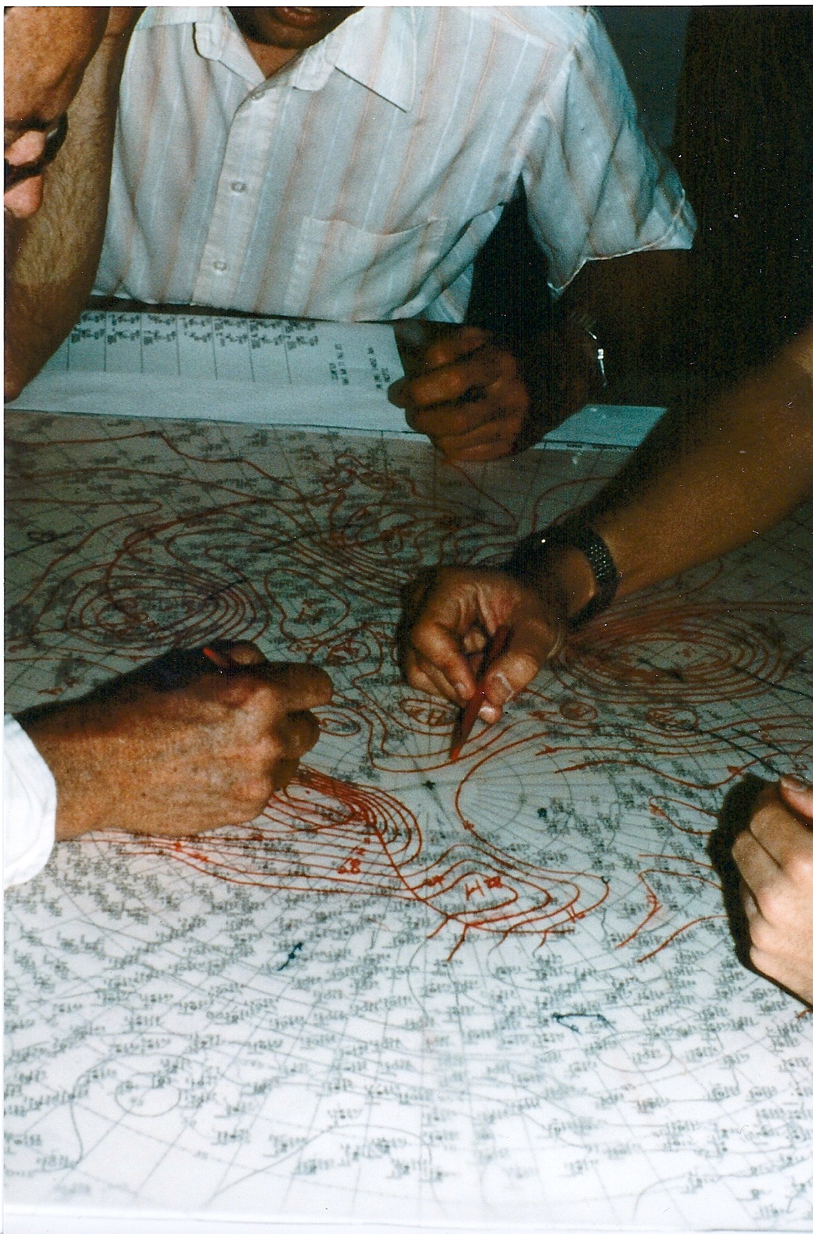
Though it has operated under many different names and used many different technologies to predict weather over the years, the WPC has been producing surface analyses since the very beginning. Surface analysis is a special type of weather map that provides a view of the weather over a geographical area, usually based on information like upper-air observations, satellite imagery, and Doppler radar received from ground-based weather stations. Taken every three hours, a surface analysis can evaluate surface fronts and pressure over North America and adjacent oceans.
In the photos below, take a look at how surface analysis at the WPC has changed across the past few decades. More importantly, notice what hasn’t changed: the relentless dedication of a hardworking staff.


