
"Of Historic Proportions": The Superstorm of 1993 - National Weather Service Heritage
"Of Historic Proportions": The Superstorm of 1993
By Emily Senesac (emily.senesac@noaa.gov)The use of the phrase “of historic proportions” to describe an impending storm suggests an entirely unprecedented weather event, a meteorological disaster unlike any other. Unfortunately, that’s exactly what the superstorm of 1993 was: unprecedented.
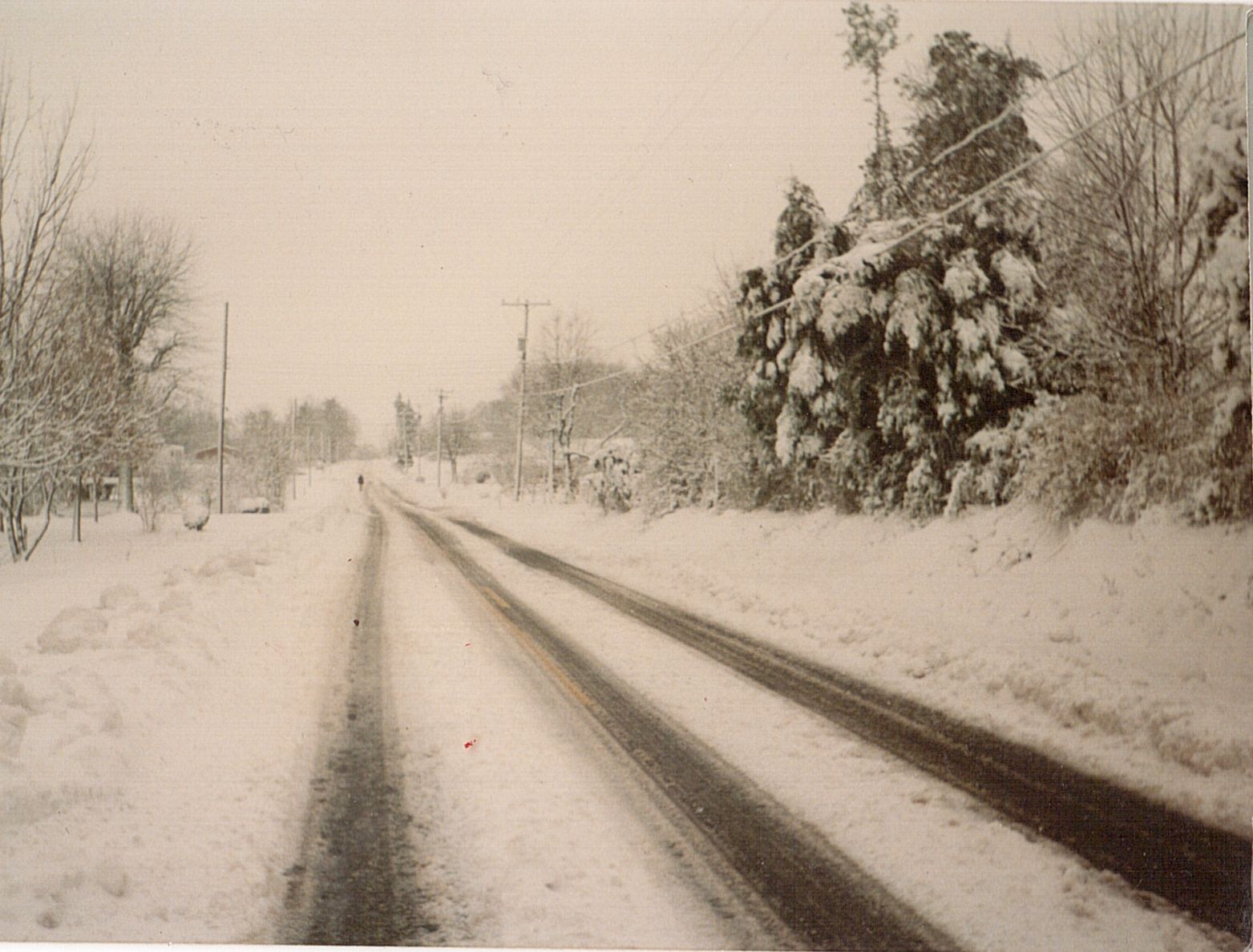
One of the most intense mid-latitude cyclones ever observed in the United States, the “Storm of the Century” pounded the eastern United States from March 12-14, 1993. Though it began as nothing more than a low pressure system in the Gulf of Mexico, this storm soon spread up the entire East Coast, and is remembered for its shockingly high snowfall totals, high coastal winds and flooding, and unseasonable cold snaps. More significantly, this destructive storm ranks among the deadliest, most costly events of the 20th century.
After developing along the Texas Gulf coast the previous day, a historically low pressure system made “landfall” on the Florida panhandle just after midnight on March 13, 1993. Damaging winds and at least 11 confirmed tornadoes were reported across the state, and the Coast Guard rescued more than 100 people from ships in distress. Additionally, the considerable wind created a 12-foot storm surge that demolished several properties and killed no fewer than seven people. As the pressure system began to move inland, cold air swept across the entire region, extending from southern Alabama to the central Appalachians. The eastern Carolinas experienced widespread damage to homes, trees, and electrical infrastructure as a result of strong winds; simultaneously, a blizzard was battering the western Carolinas. Powerful coastal gales caused storm surges and beach erosion for south-facing shorelines, causing considerable tidal flooding in those areas. At least 40% of the population of the United States was directly affected. More than 200 lives were lost, 10 million electrical customers lost service, and the estimated damage was upwards of $3 billion. To top it all off, more than 44 million acre-feet of snow was reported up and down the entire coast as a result of this extreme storm.
Despite the weight of those numbers, it has been said by many that they would’ve been much higher if not for newly developed NWS forecast capabilities. This storm marked the first time all components of the newly modernized NWS came together to usher in a new era, one where numerical prediction models provided strong forecasts. With the new technology, forecasters were able to forecast a storm of this magnitude up to five days in advance, as well as provide blizzard warnings two days in advance. Armed with this knowledge, the NWS began preparations well ahead of the storm, warning the near 100 million people in the Eastern United States and allowing officials to take actions to mitigate potential disaster.
The superstorm of 1993 proved to be a watershed moment for both the NWS and the country, highlighting the successes of modern forecasting as well as the improvements that still needed to be made to protect more lives and properties.
Additional Reading