Reflectivity At Lowest Altitude (RALA) - Warning Decision Training Division (WDTD)
Navigation Links
Products Guide
Reflectivity At Lowest Altitude (RALA)
Short Description
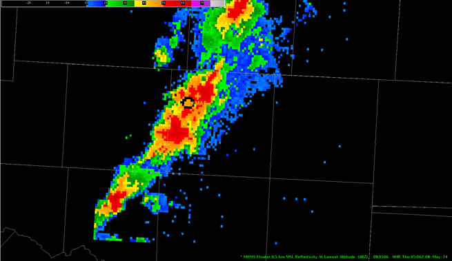
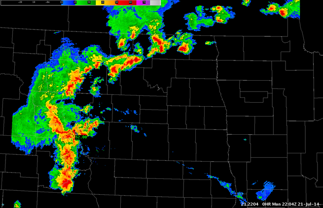
Reflectivity at the lowest sampled vertical level that contains data.
Subproducts
Low-Resolution (5 km) RALA
Raw RALA, un-quality-controlled RALA
Primary Users
NWS: WFO, CWSU, RFC, AWC, SPC, WPC
FAA: Tower, AFSS
Other: EM, Red Cross
Input Sources
3D Reflectivity Cube
Resolution
Spatial Resolution: 0.01o Latitude (~1.11 km) x 0.01o Longitude (~1.01 km at 25oN and 0.73 km at 49oN)
Temporal Resolution: 2 minutes
Product Creation
As a result of the radar horizon and terrain blockage, each radar can only sense down to a certain altitude above Earth’s surface. The RALA product uses the lowest altitude from all of the available radars at each horizontal grid point. This ensures that the reflectivity at the lowest altitude is depicted.
At each horizontal 2D grid point, the reflectivity value is checked in the vertical grid from the bottom up. Once an “available” data value is found, that reflectivity value is assigned to the RALA value for that horizontal grid point. Data below radar beam heights or blocked by terrain are considered “unavailable”.
Technical Details
Latest Update: MRMS Version 10
References
None


