MESH Tracks - Warning Decision Training Division (WDTD)
Navigation Links
Products Guide
MESH Tracks
Short Description
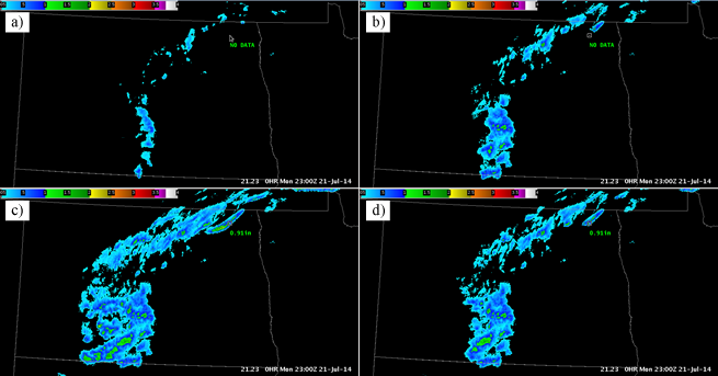
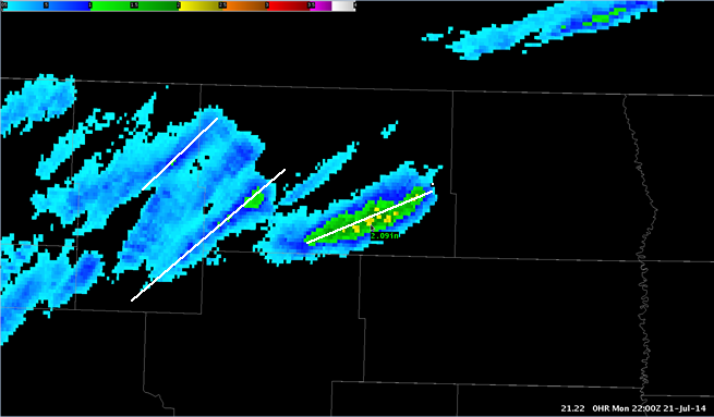
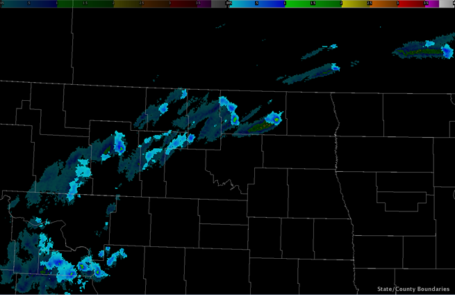
The maximum Maximum Estimated Size of Hail (MESH) value during a specified time period.
Subproducts
MESH Tracks
- 30 minute
- 60 minute
- 120 minute
- 240 minute
- 360 minute
- 1440 minute
Primary Users
NWS: WFO, CWSU, AWC, SPC
Other: EM
Input Sources
Maximum Estimated Size of Hail (MESH)
Resolution
Spatial Resolution: 0.01o Latitude (~1.11 km) x 0.01o Longitude (~1.01 km at 25oN and 0.73 km at 49oN)
Temporal Resolution: 2 minutes
Product Creation
MESH Tracks are computed by taking the maximum value of MESH over the specified time period.
Technical Details
Latest Update: MRMS Version 10
References
Witt, A., M. D. Eilts, G. J. Stumpf, J. T. Johnson, E. D. Mitchell, and K. W. Thomas, 1998: An enhanced hail detection algorithm for the WSR-88D. Wea. Forecasting, 13, 286-303.


