


D2D Issued Products
Issued Products Displays
The issued products display in D-2D are spread throughout multiple menus. Some of these, like warning polygons, will be used extensively in RAC, while many others will not.
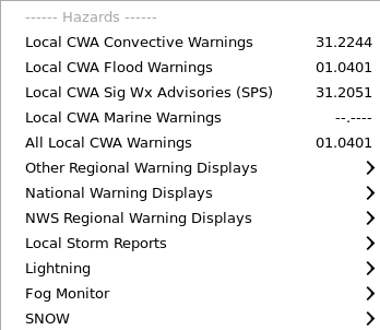
Hazard-related displays are located in the Hazards section of the Obs menu. You can display Local Storm Reports (LSRs), significant weather advisories (SPS), marine warnings, severe/tornado warnings, and flood warnings locally, regionally, or nationwide. For severe weather warning products, the Event Tracking Number (ETN), product PIL, and product times are identified next to the display polygon. Sampling will provide more readout of warning information.
Most of the non-local issued product displays are available from the NCEP/Hydro menu. National Center menus include the Storm Prediction Center (SPC), Tropical Prediction Center (TPC), the NCEP Central Operations (NCO), Hydrologic Prediction Center (HPC; now known as Weather Prediction Center-WPC), Marine Prediction Center (MPC; now known as Ocean Prediction Center-OPC), Climate Prediction Center (CPC), and Aviation Weather Center (AWC). The National Center products cover a wide range of threats including severe, fire, marine, tropical, climate, aviation, hydrology, and weather summaries. In addition to National Centers, the River Forecast Center guidance is also available. In RAC we will use some of the severe weather outlook and watch displays as well as the RFC flash flood guidance. The SPC watches are displayed as a hatched area and not a polygon, so color adjustment is required to be able to combine it with other products effectively.
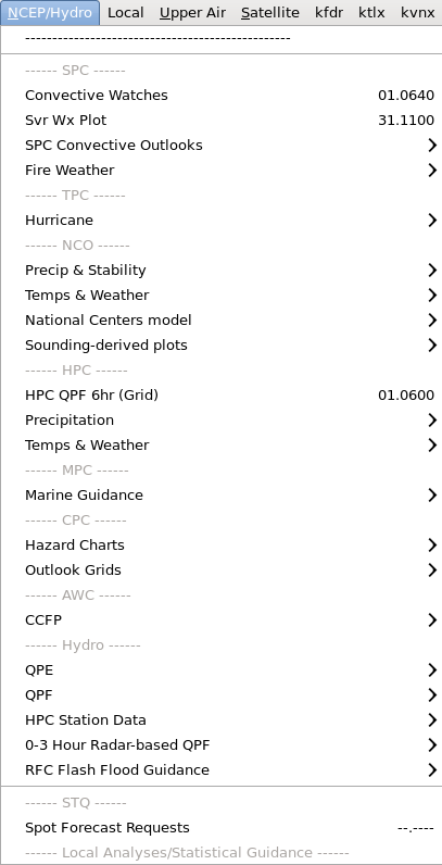
RFC Flash Flood Guidance in the NCEP/Hydro menu is used heavily in RAC for flash flood decision making to compare precipitation estimates to thresholds that can cause flooding. The 1km x 1km FFG data that is updated up to 4 times per day can be loaded be loaded as a mosaic for 1hr, 3hr, and 6hr durations, or it can be loaded from each RFC's menu.
Some other hydro-related products worth mentioning include the 1hr WFO local Multi-Sensor Precipitation Estimator (MPE) which is an hourly estimate of precipitation accumulation that can be configured to use multiple sensors by the local hydrology focal point. The 1hr Auto SPE (Satellite Precipitation Estimate) is a routine satellite-based precipitation estimate provided by National Environmental Satellite, Data, and Information Service NESDIS (non-routine SPEs are available from the manual submenu).
While spot forecast requests for fire weather are not issued products, it is something closely related and worth mentioning. The Spot Forecast Request menu available from the NCEP/Hydro menu provides a map of the request, where you can get more information by sampling the displays.
Aviation-related issued products are available from the Upper Air->Aviation submenu. There are products like Significant METeorological Information (SIGMET), Airmen's Meteorological Information (AIRMET), and National Convective Weather Forecast (NCWF) products. There are also Climate Prediction Center 500mb height and anomaly products.