Blogs

Day 7 Tropics Watch

Sharing "always current" views of images (thanks to Mike Fiorino for producing them!) from this research:  http://ruc.noaa.gov/hfip/tcgen/

which is described further here:  http://ruc.noaa.gov/hfip/tcgen/doc/

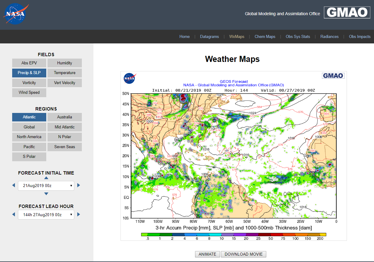
Click below images for them to open in a new window.

CMC:  

ECM2

GFS

NAVGEM

FIM8


FIM8

RTFIM9


RTFIM9

UKMET

GEOS-5


New GEOS-5 Link (Click image to go to site)

More Blog Entries

Extreme Precipitation Frequency Table

Much of the following material is internal and in development, but I wanted to share what can...

Test

2 Comments

B
Bob 9 Years Ago
Nice work Jack! Looks like there is still considerable spread among the model solutions.
10
Please sign in to reply.
JS
Jack Settelmaier 9 Years ago in reply to Bob .
Agreed Bob, as one would expect in a Day 7 forecast, though there seems to be agreement on a move northward; it's just a matter of when (at what longitude) that begins.
00
Please sign in to reply.

Categories Navigation